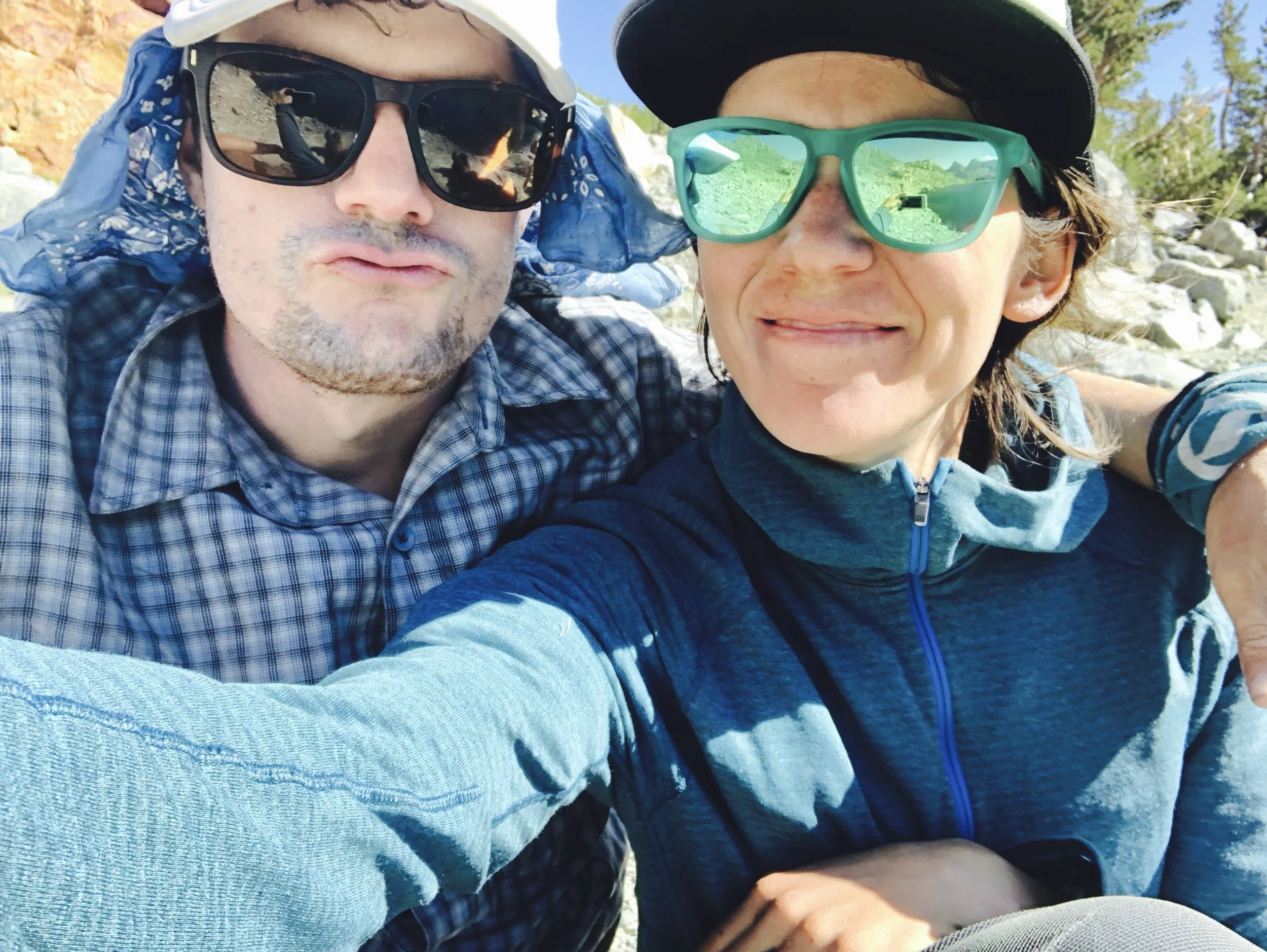
It’s done! We have officially tied the knot. After a year and a half of planning, rings are on the fingers and it all went off without a hitch.
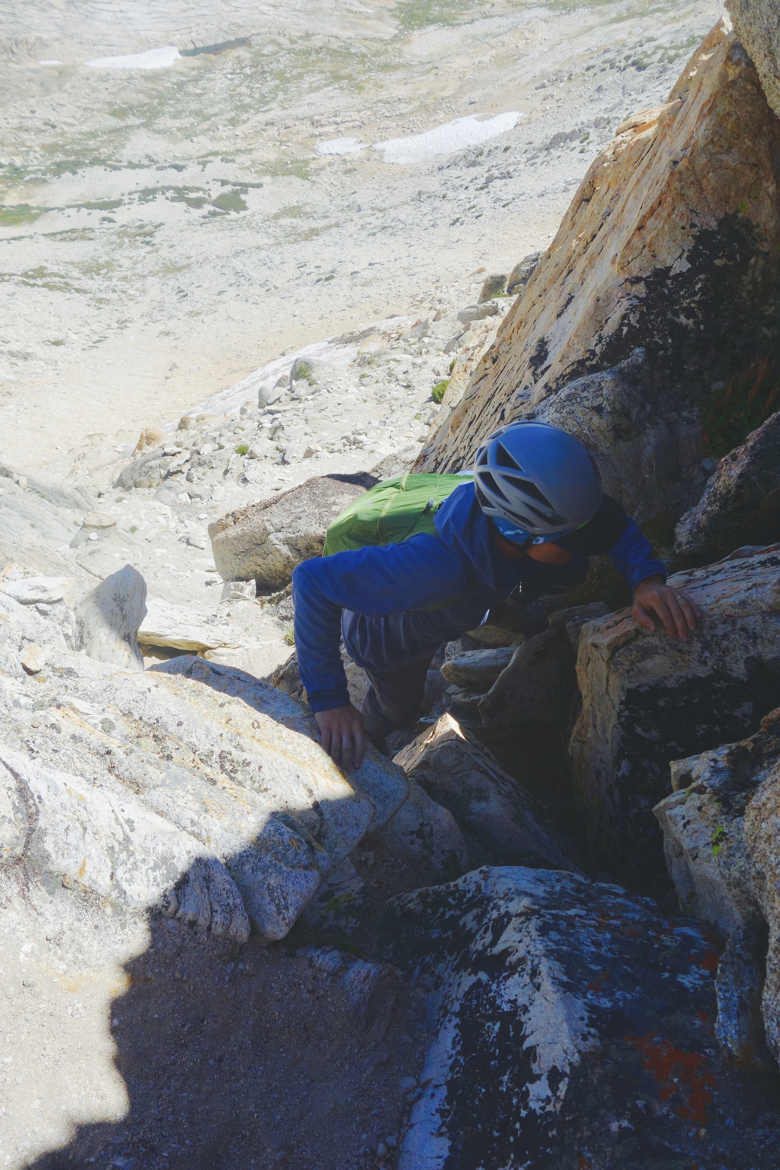
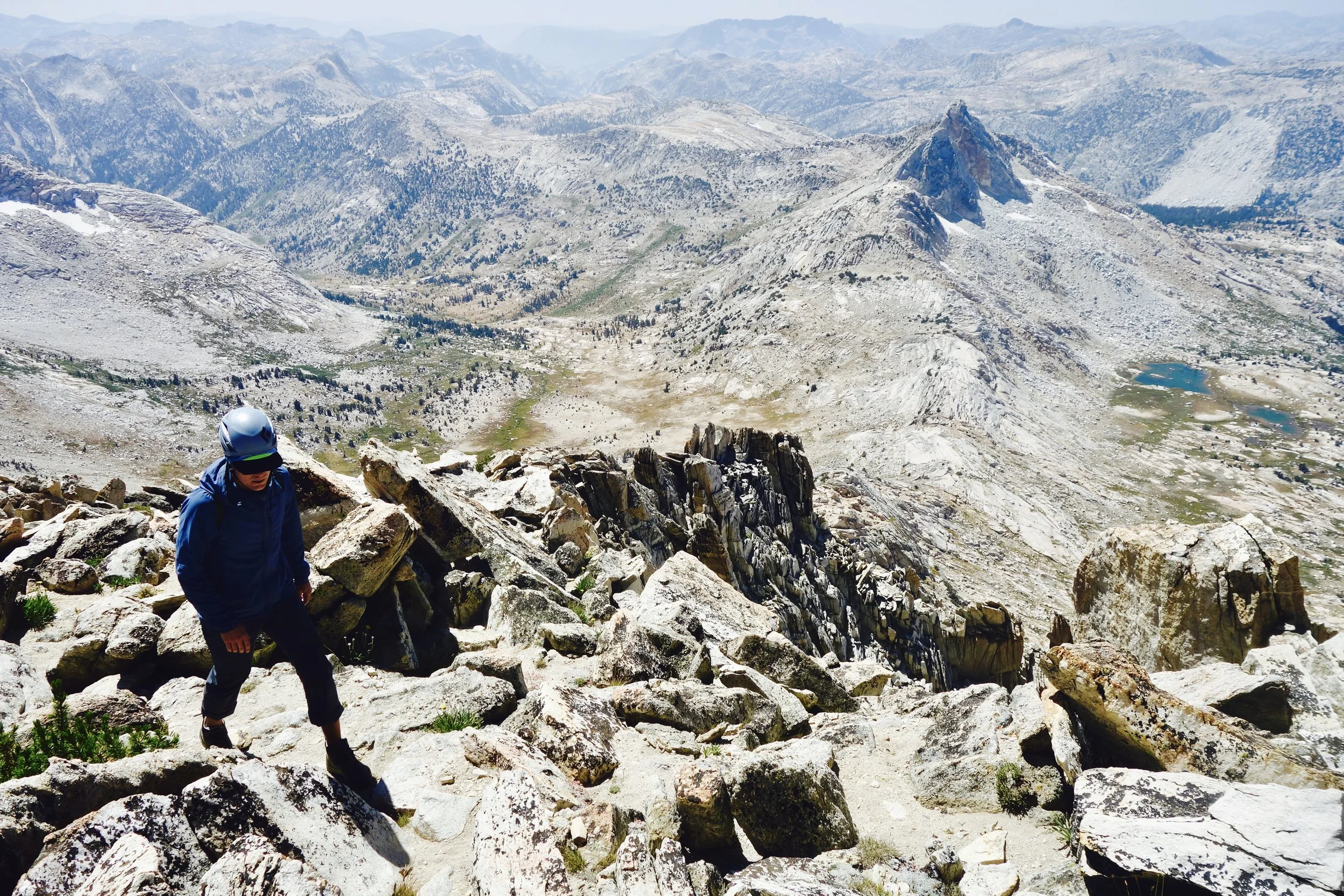
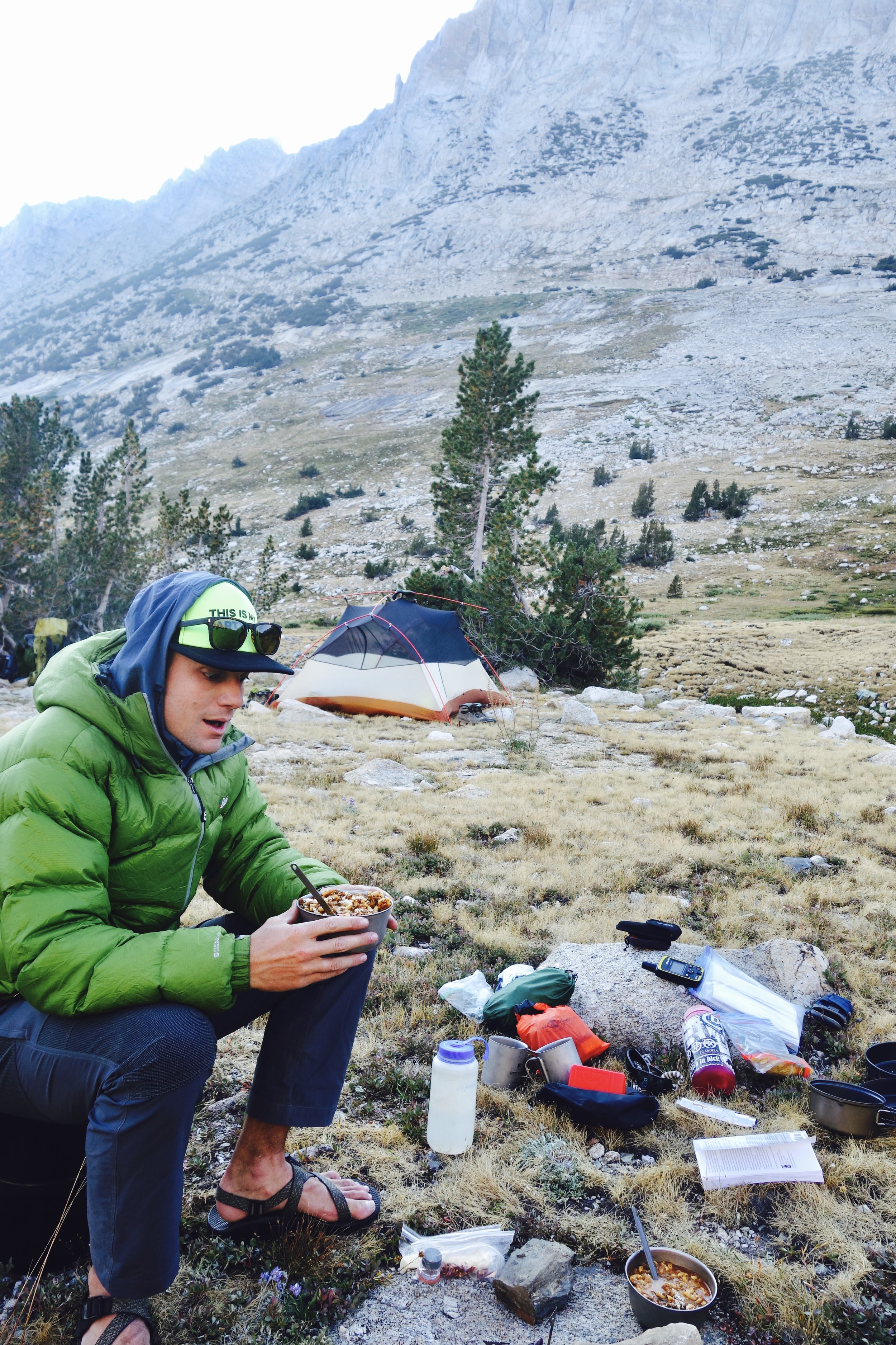
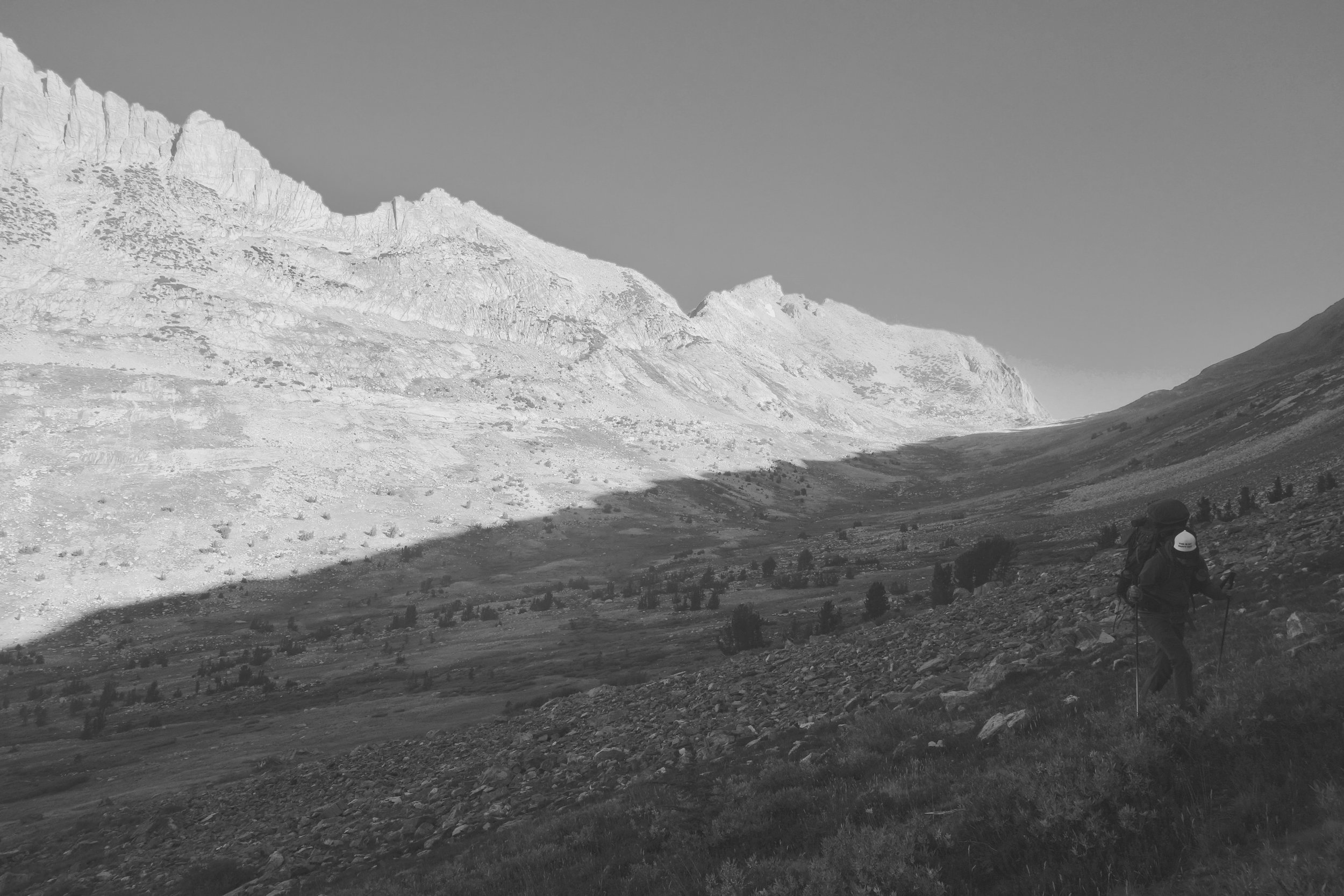
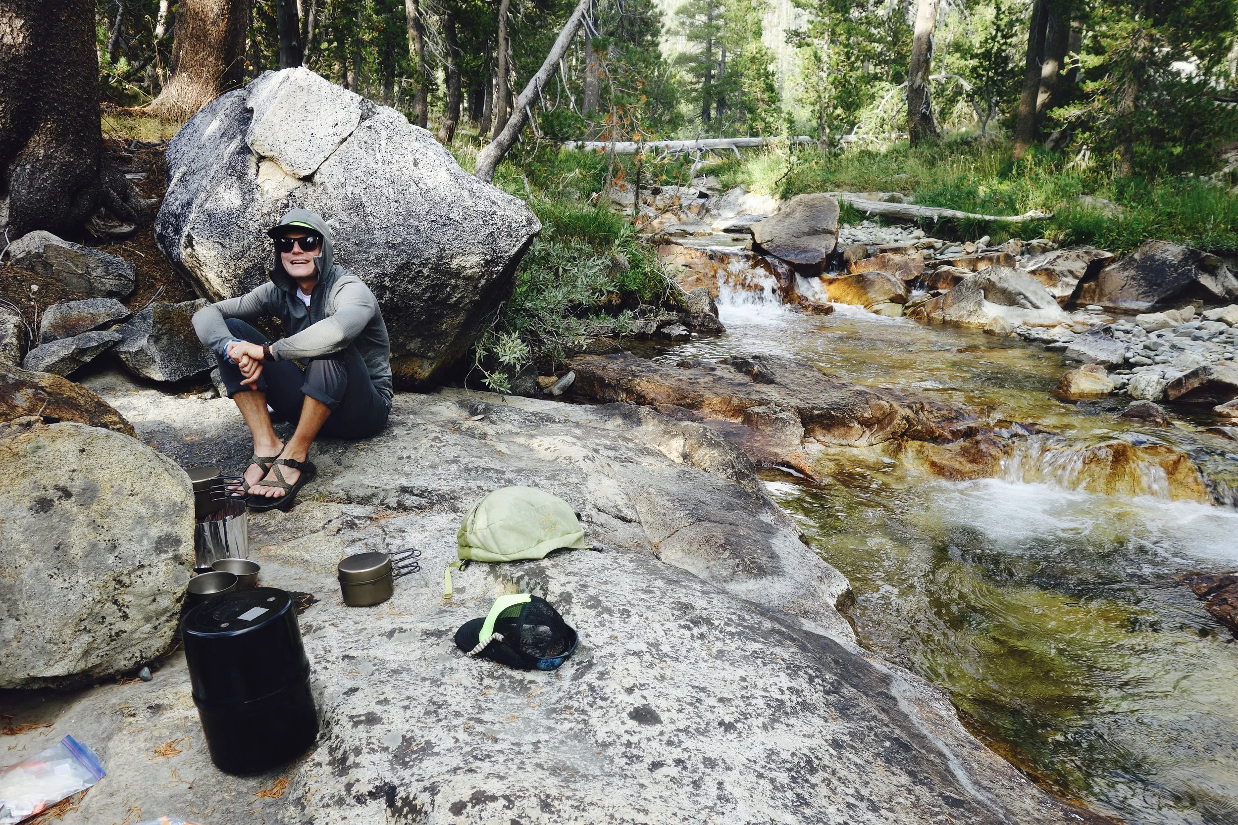
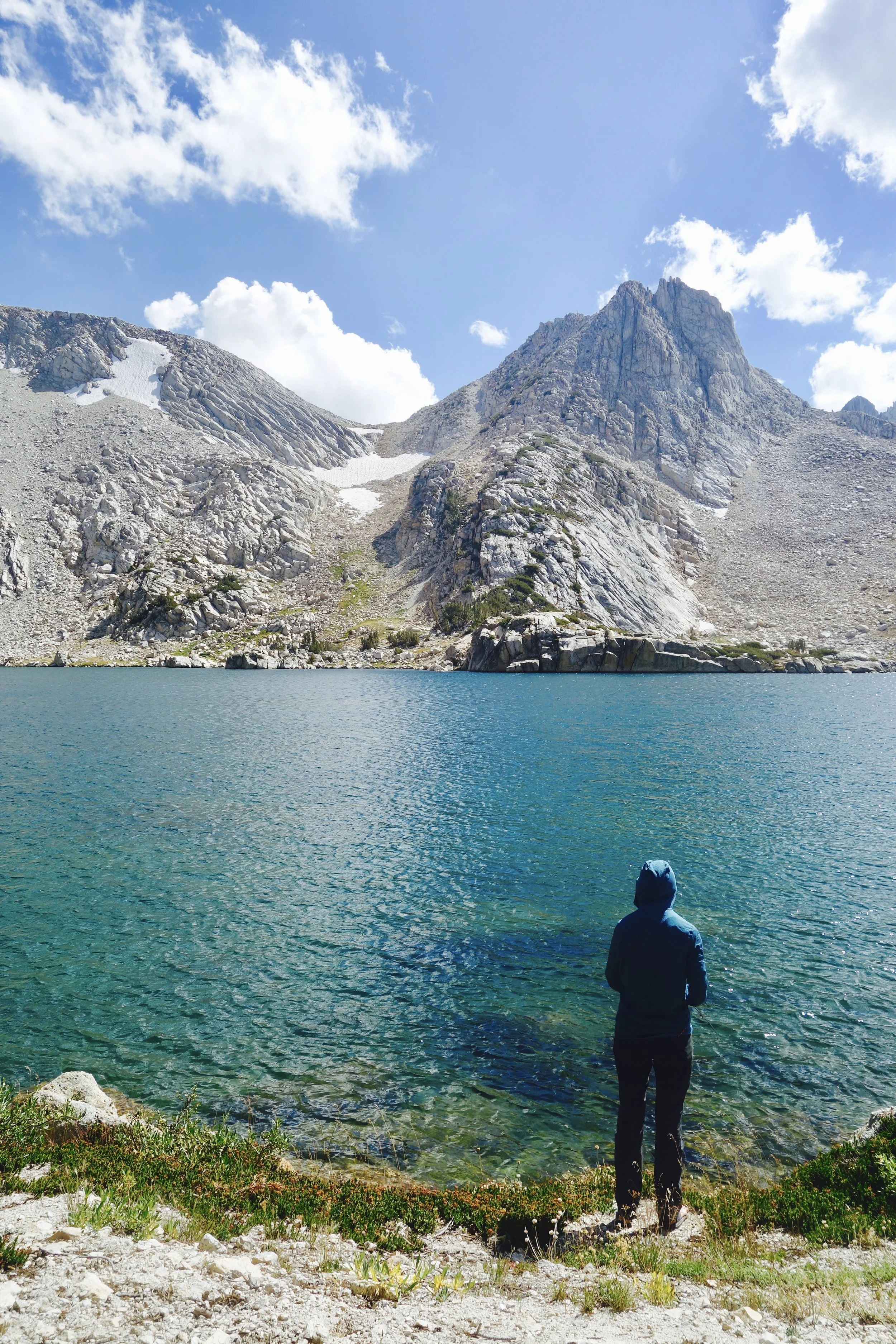
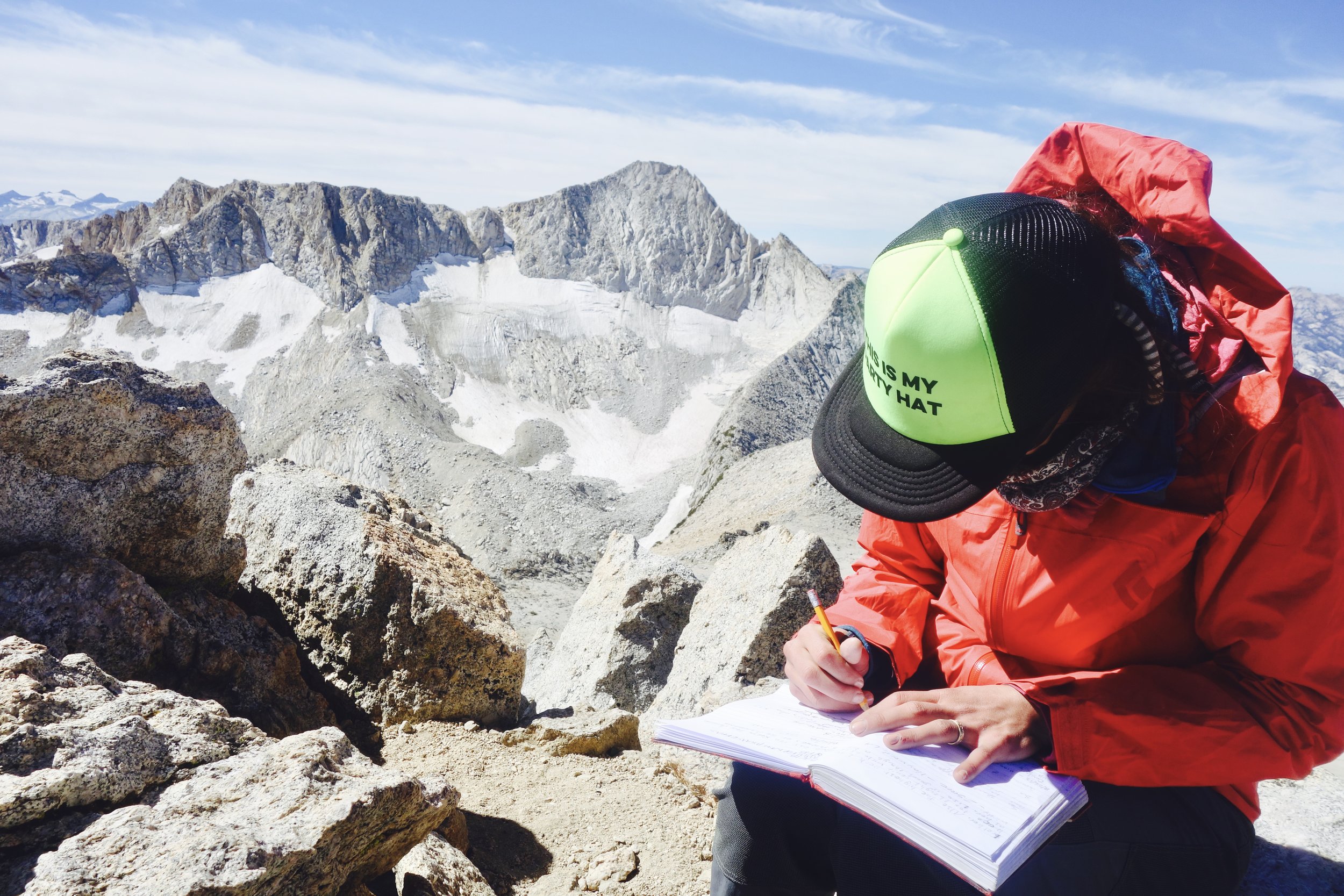
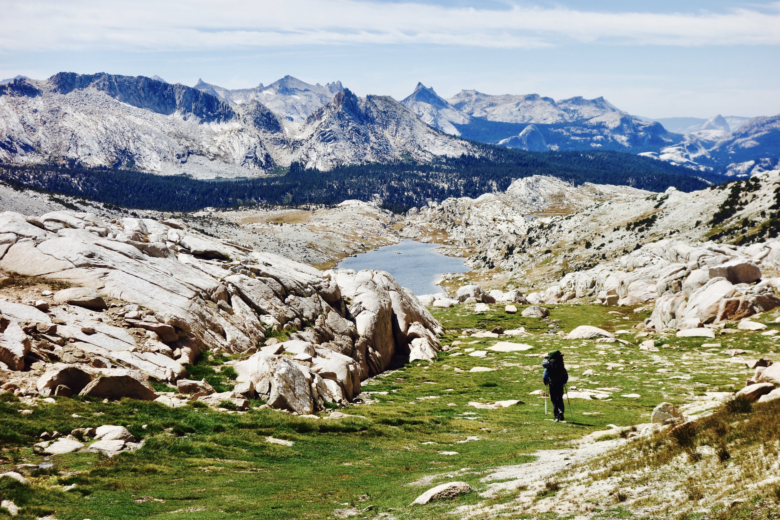
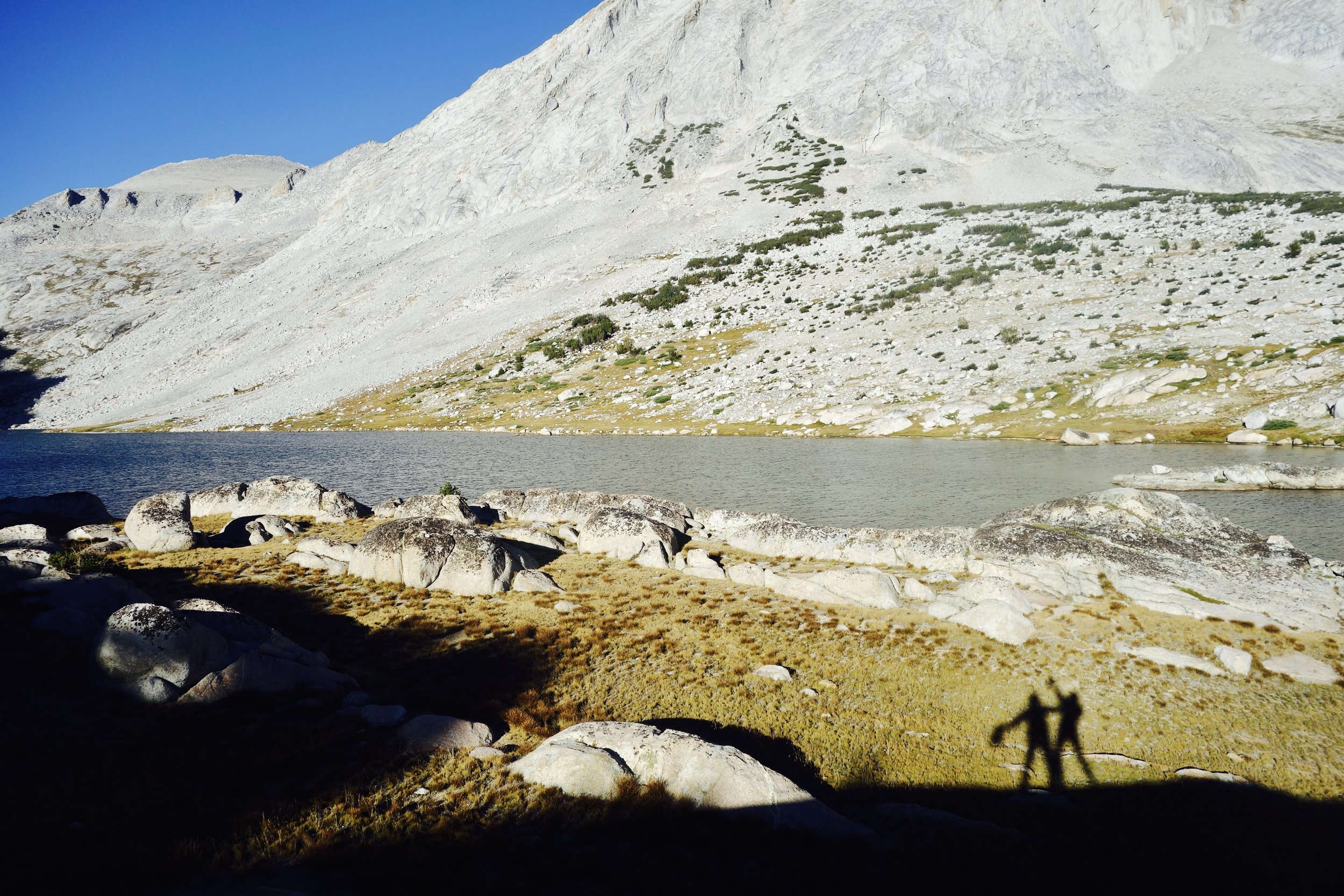
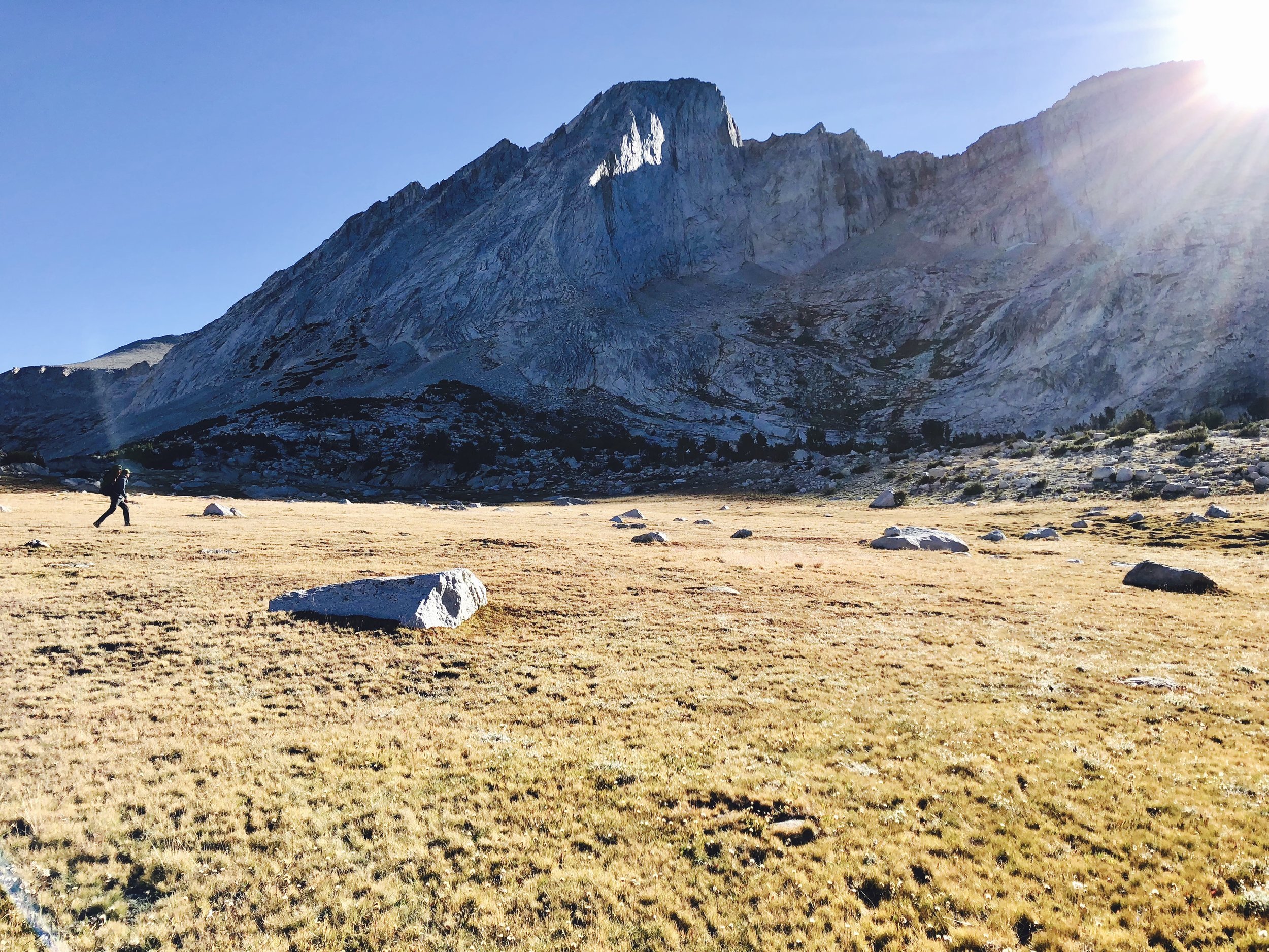
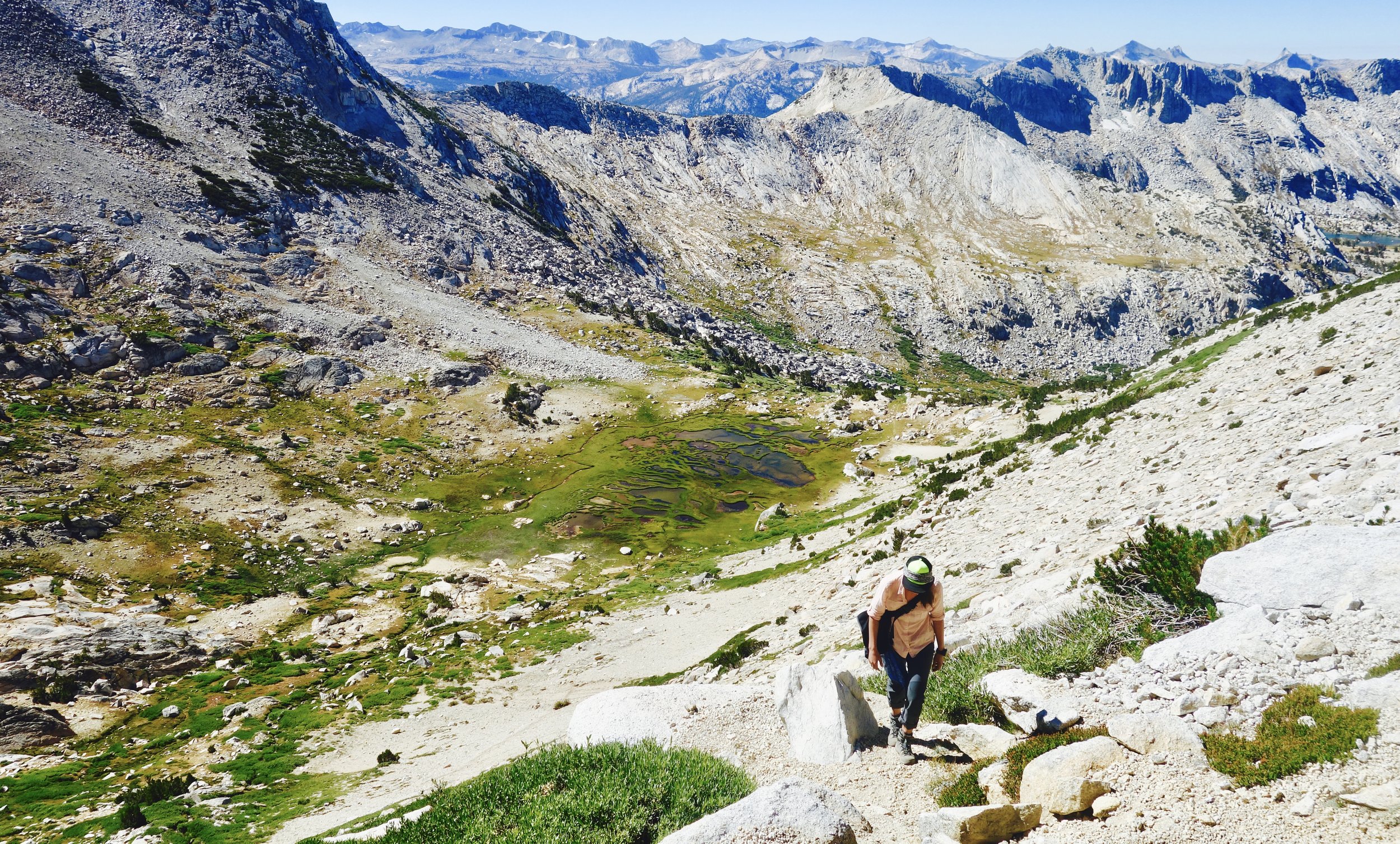
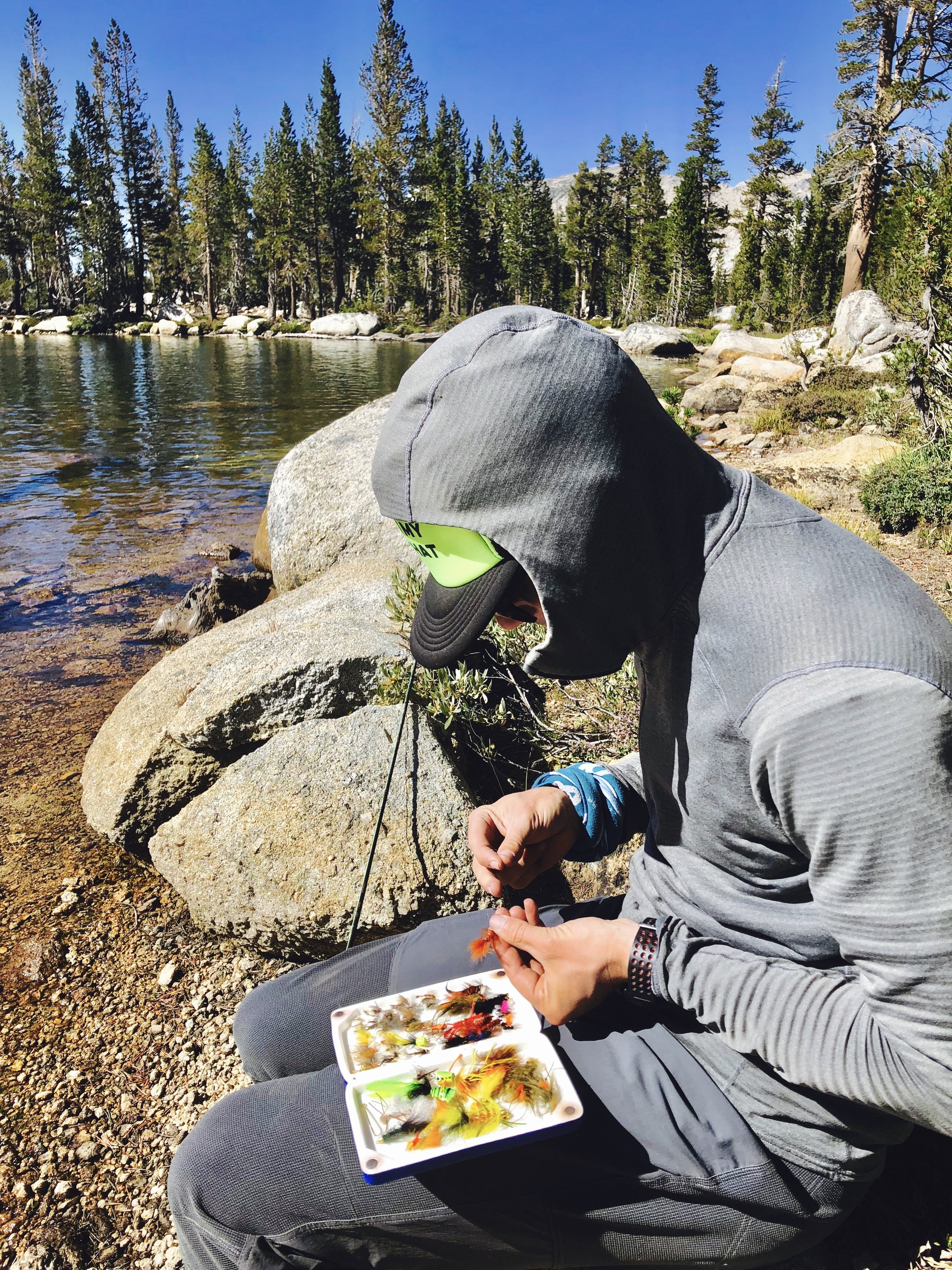
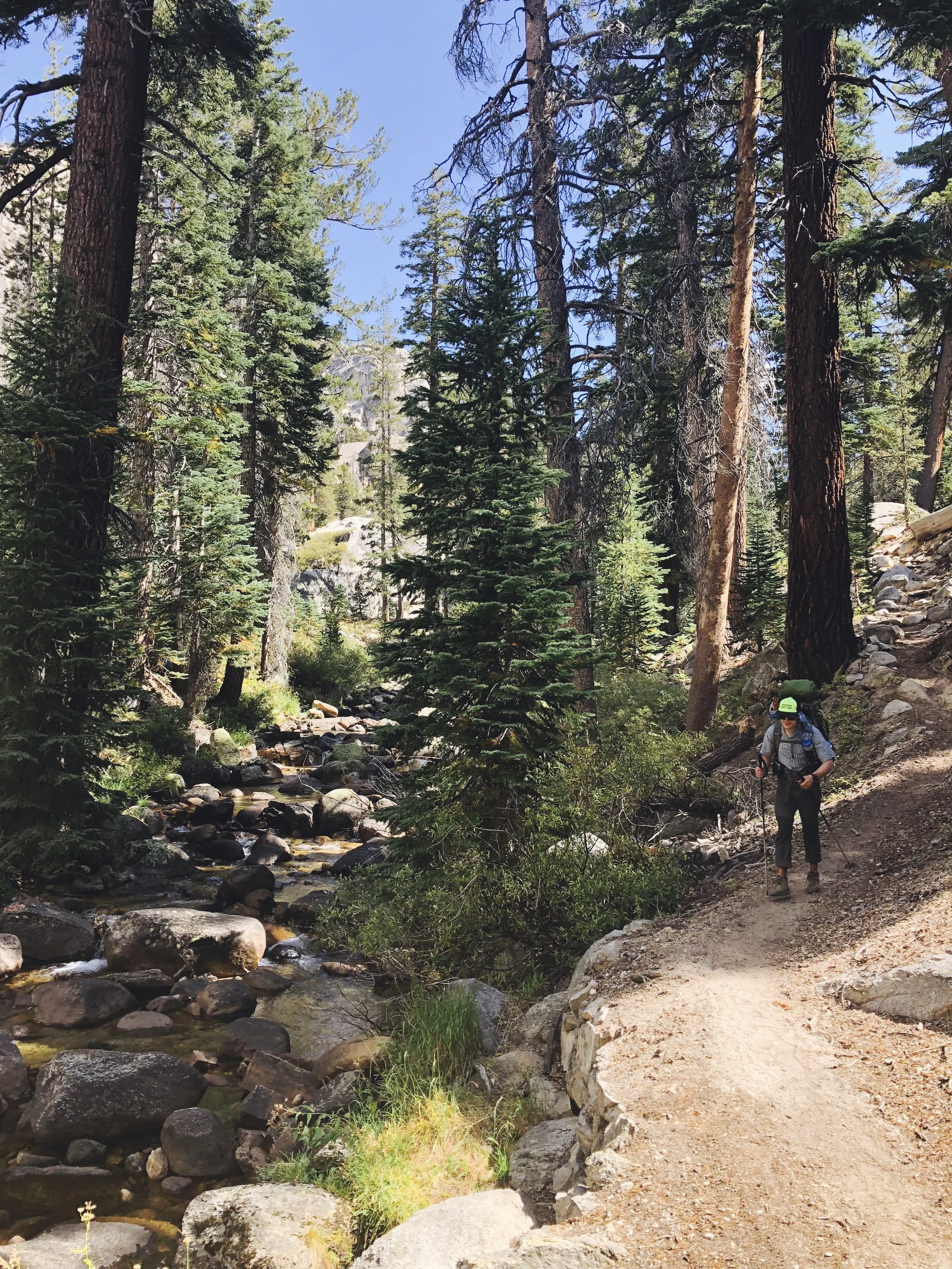
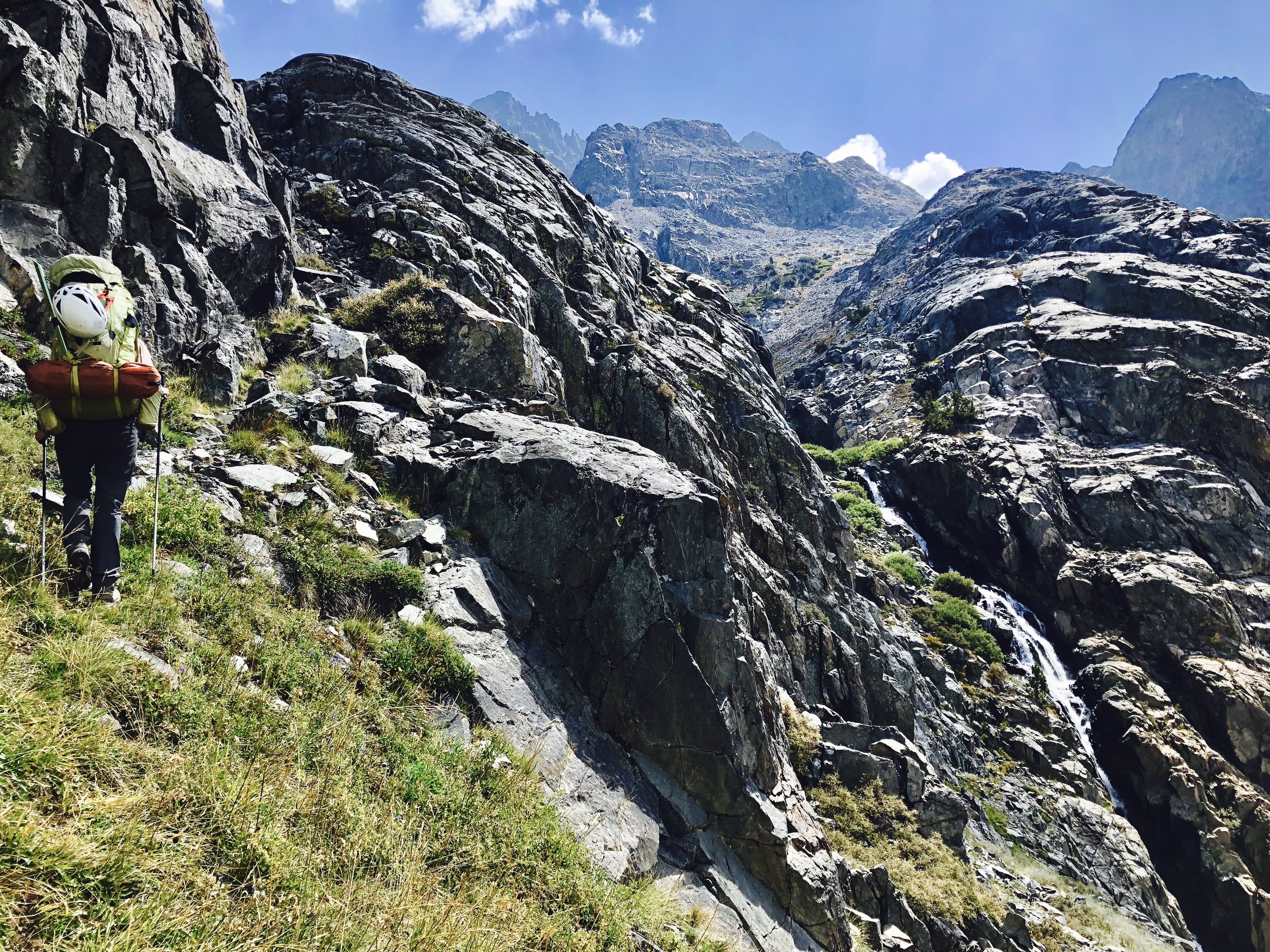
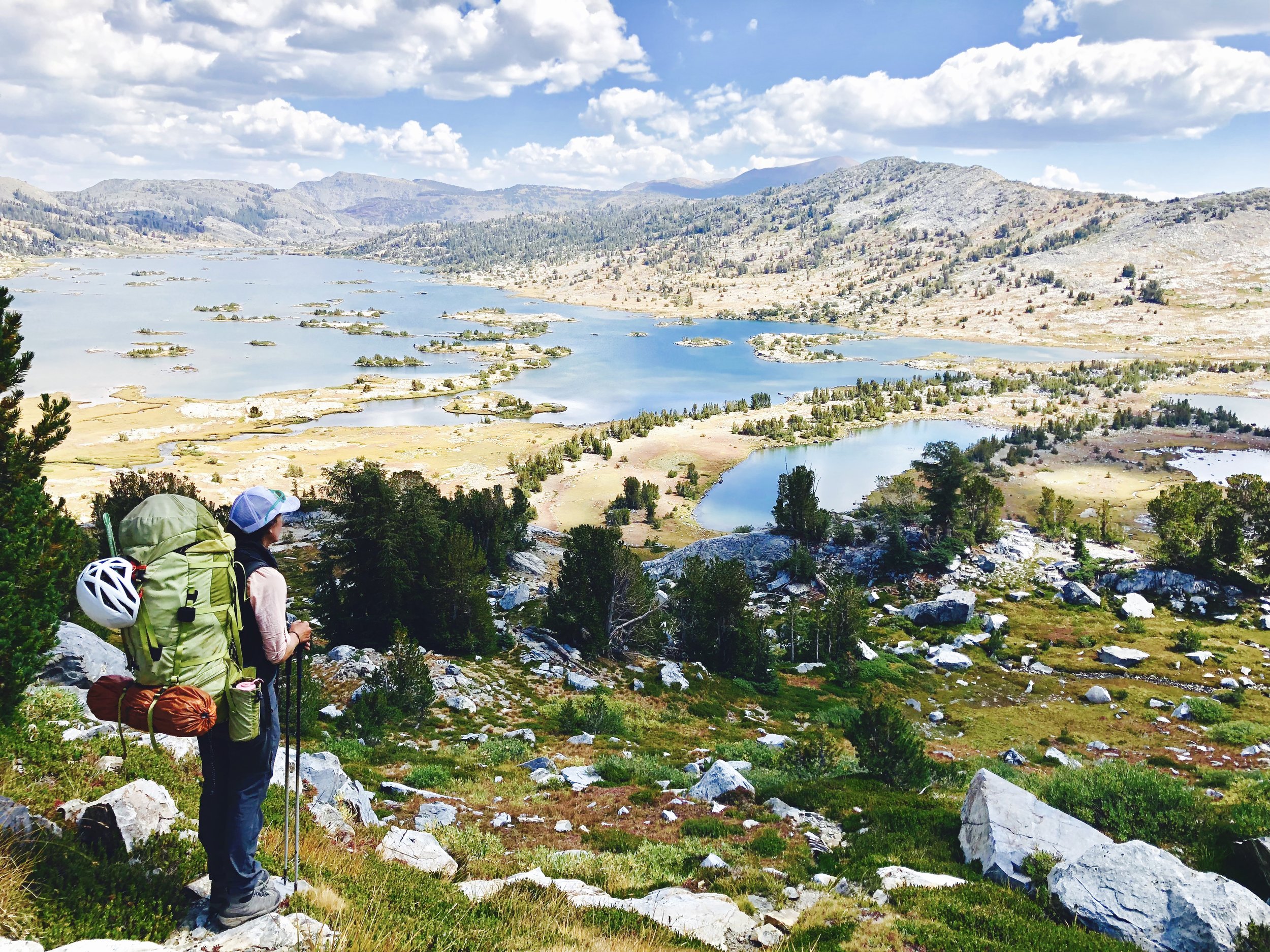
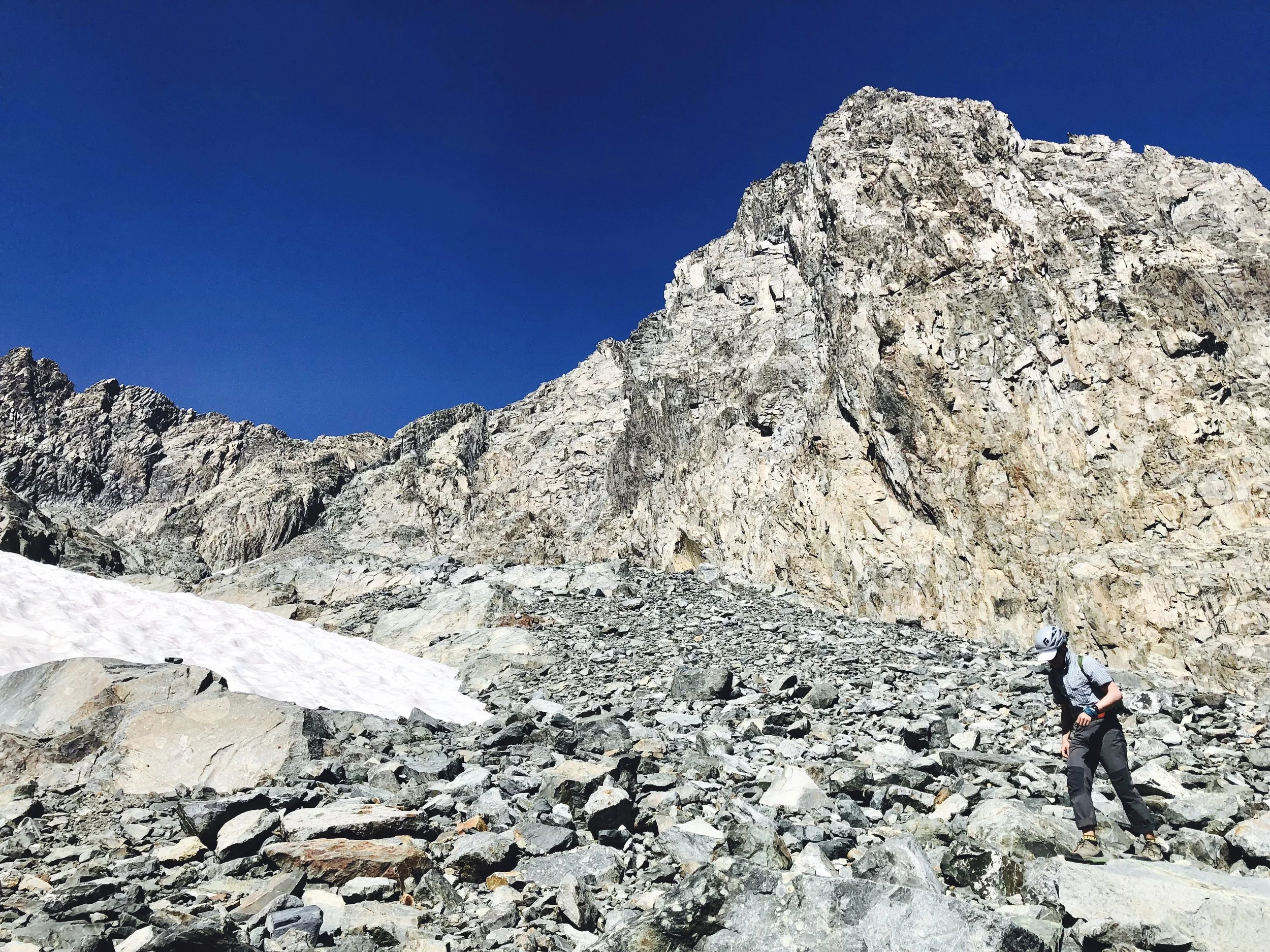
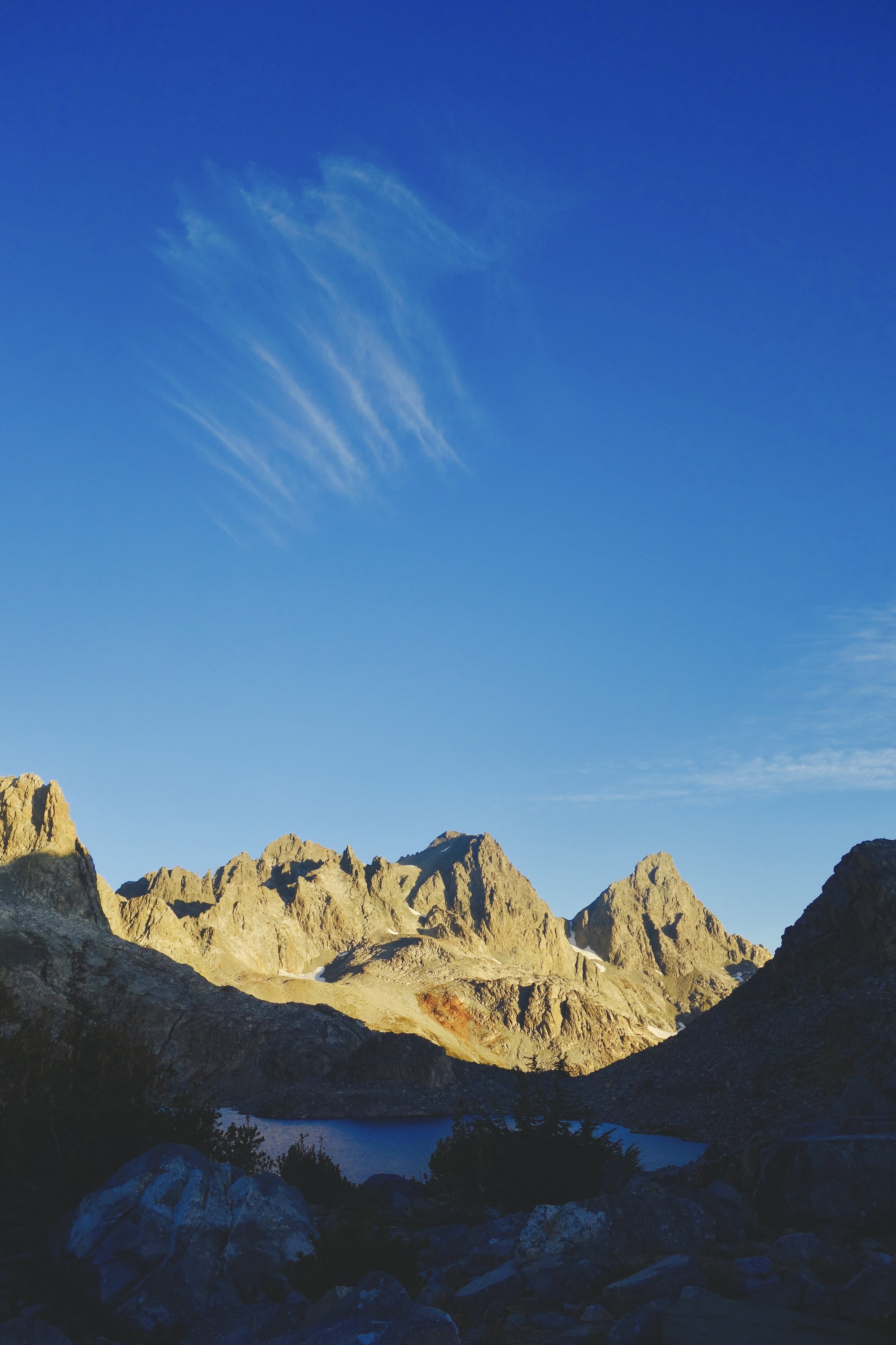
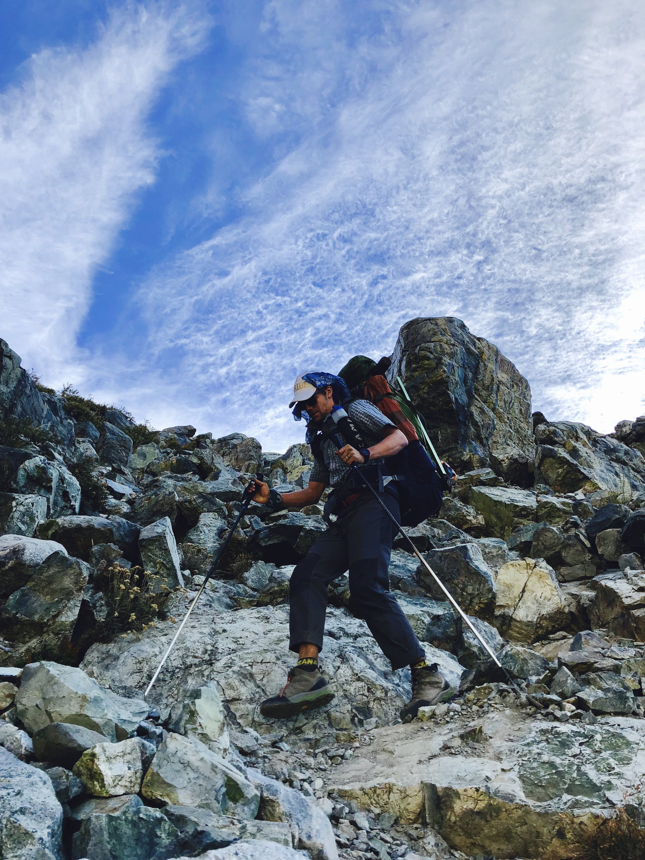
This left us with only one last thing to do: take advantage of our employers’ understanding of our major life event and decompress for a couple weeks in the High Sierra. Putting in just outside of Bridgeport, CA, we headed south into Yosemite National Park via Steve Roper’s Sierra High Route (with a few deviations), knocking out solid miles on talus, tagging a few summits, fishing beautiful bodies of water as huge granite faces towered above, finding ourselves in awe of the geologic changes as we traveled into the Ritter Range, and finally ending in Mammoth and Devil’s Post Pile National Monument. We’ve estimated our route covered around 90 miles (approximately 80% of which were off-trail), and that we traveled around 120 miles with 78,000 feet of vert (both gain and loss). We were very fortunate to have mostly great weather and only one night of bear activity in camp. Great to be back in the Sierra, land of the boonie hat, crusty old timers, and locals who put in big days because they can but keep it to themselves and then greet you with a pleasant smile and encouraging word when you cross paths at Mammoth Mountaineering.
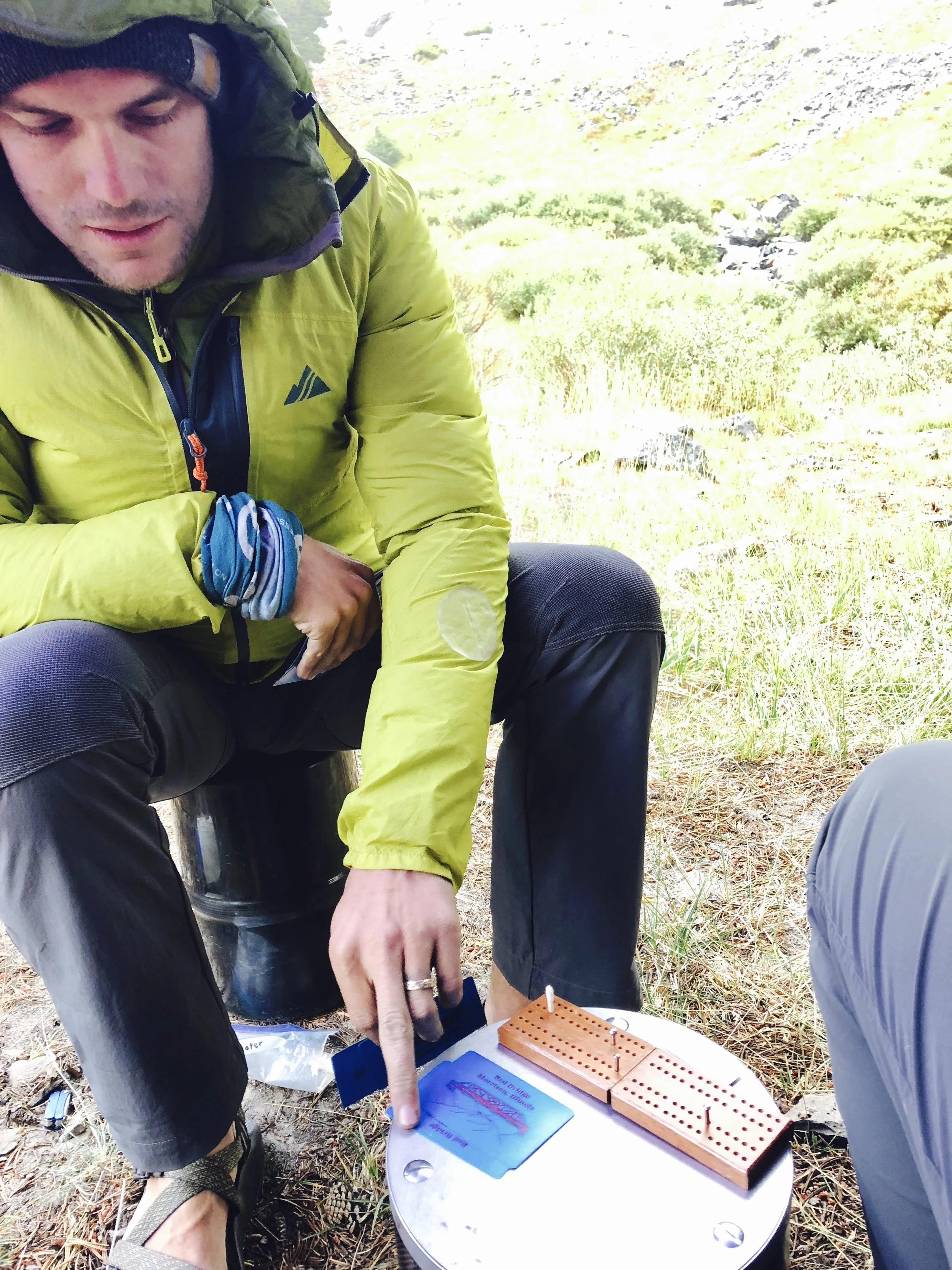
Great to get our butts kicked, recharge the batteries, and motivate for our next chapter in life. Thanks to everyone who helped us get through wedding planning and put up with our griping and moaning about wedding things! We are so fortunate to have such wonderful friends and families. Hope you enjoy the photos!
[As always, click to enlarge, hover for captions.]
<3, D&D
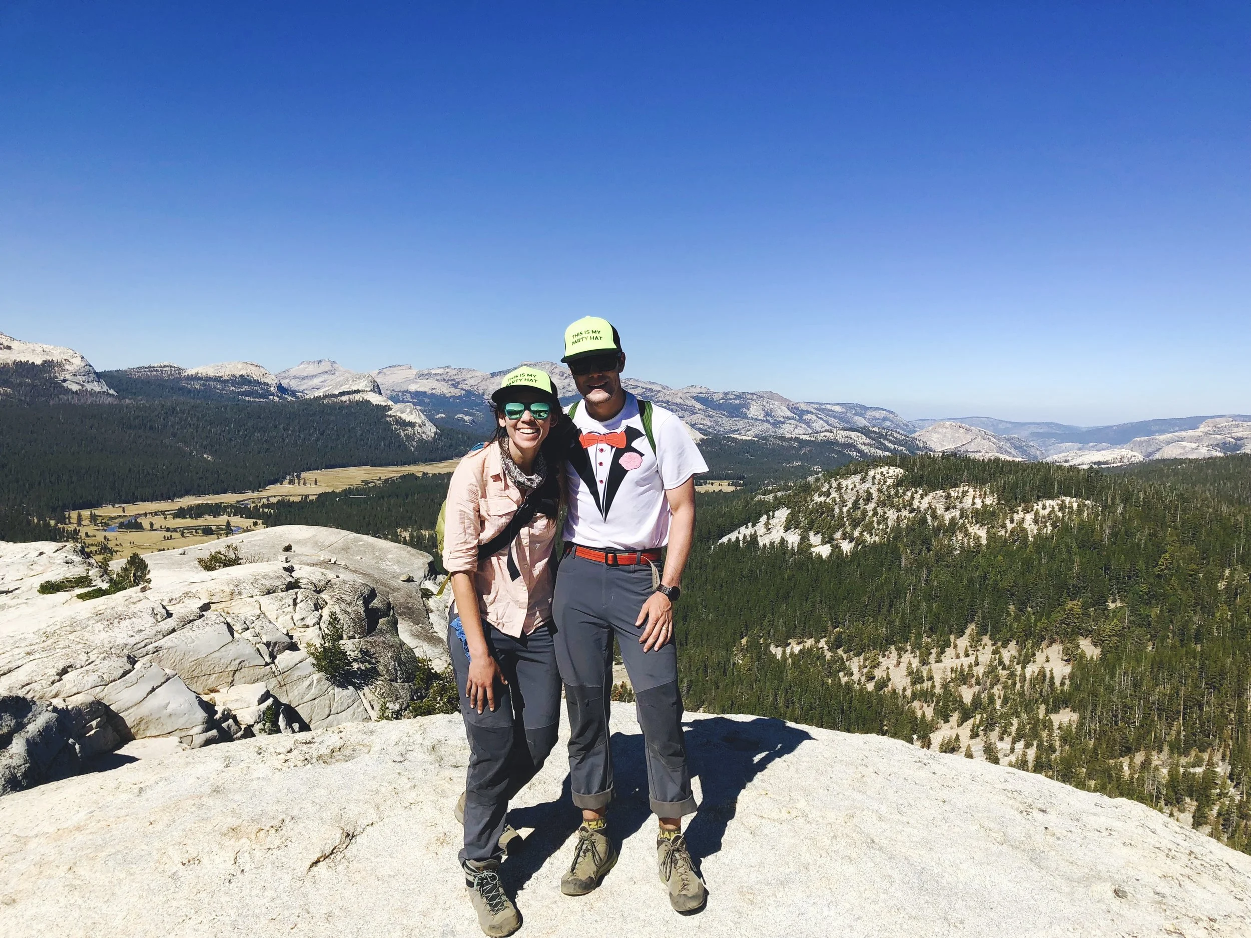
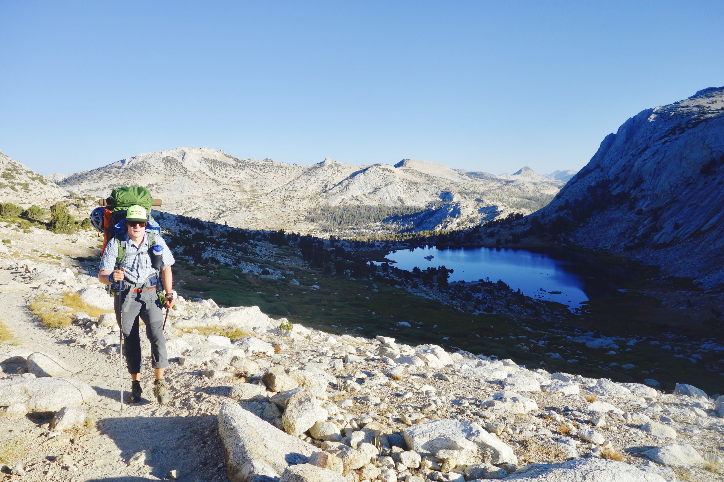
CANYON COUNTRY // TWIN LAKES TO TUOLUMNE MEADOWS
TWIN LAKES TO SPILLER CANYON + MATTERHORN PEAK


SPILLER CANYON TO VIRGINIA CANYON + STANTON PEAK


VIRGINIA CANYON TO UPPER MCCABE LAKE


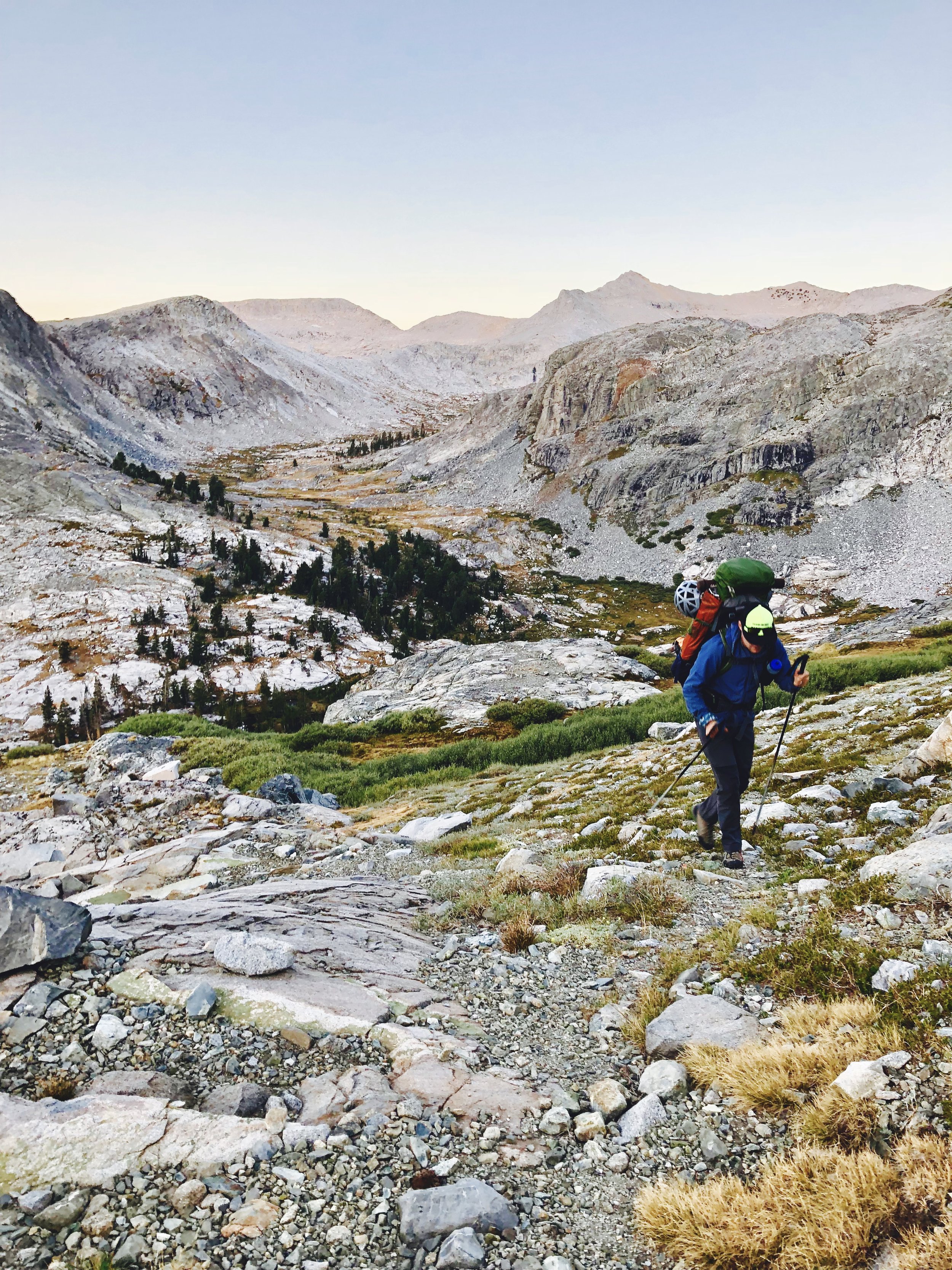
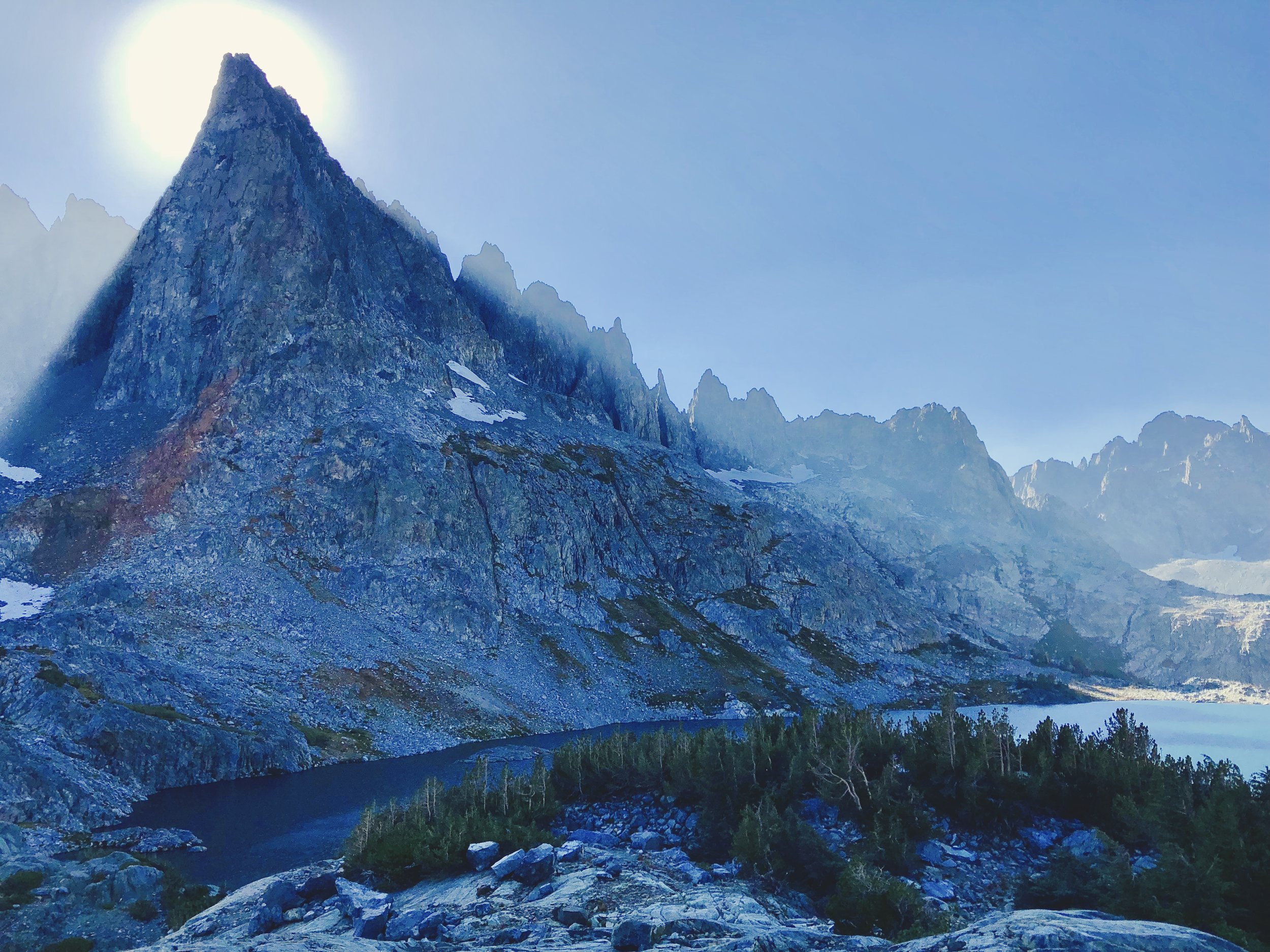
UPPER MCCABE LAKE TO ROOSEVELT LAKE + NORTH PEAK


ROOSEVELT LAKE TO LOWER YOUNG LAKE + MT CONNESS
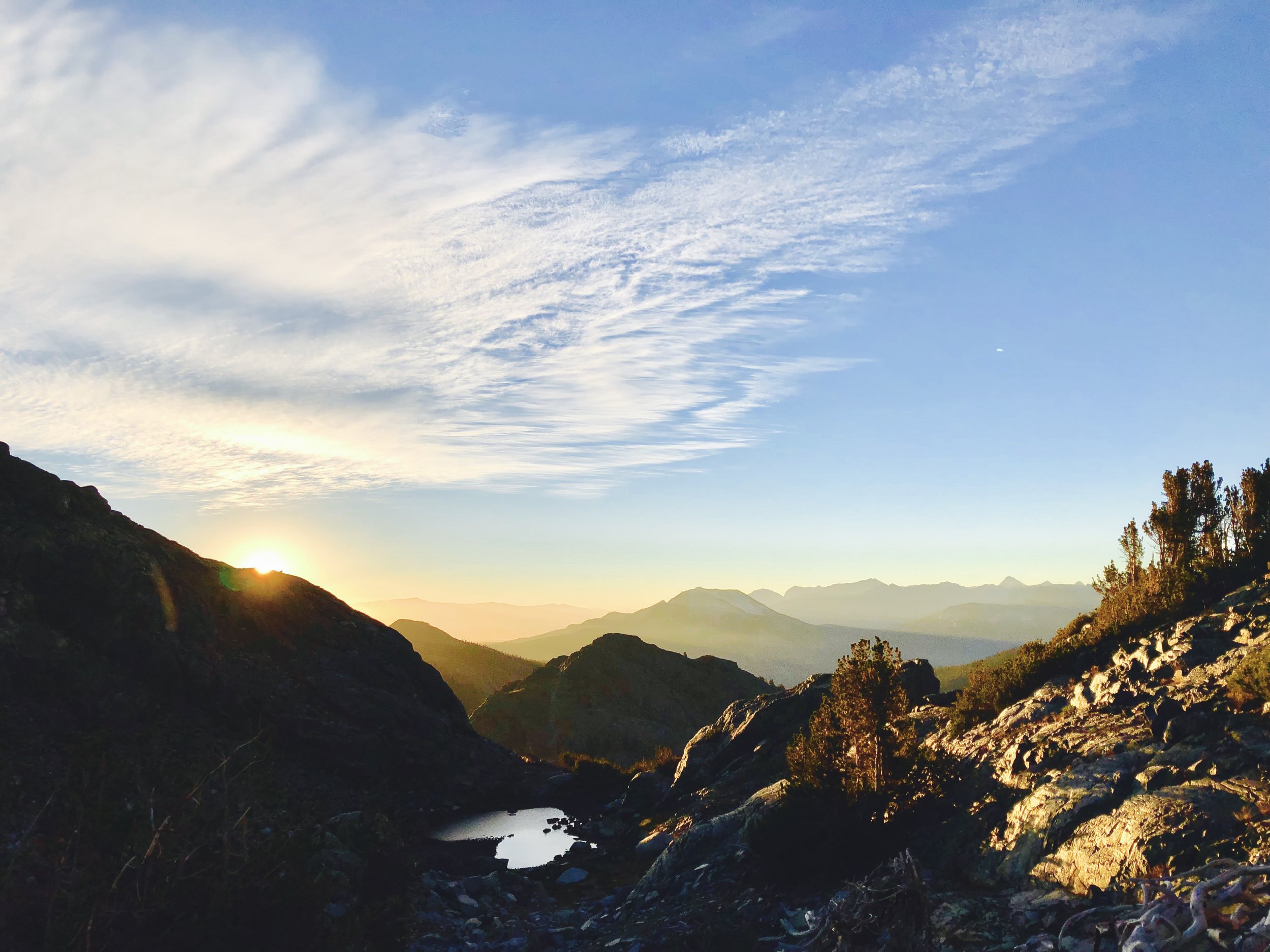
![Sunrise at Roosevelt Lake, #2 ([Apologies: many photos of the sunrise at Roosevelt Lake…we couldn’t decide which we liked best, and in Alex’s words, “it’s our honeymoon! Keep ‘em all!”]](https://images.squarespace-cdn.com/content/v1/5394fec0e4b09d29f098eabe/1537326545087-6SZIUOD6S4UYQFHU1F7R/fullsizeoutput_36ac.jpeg)


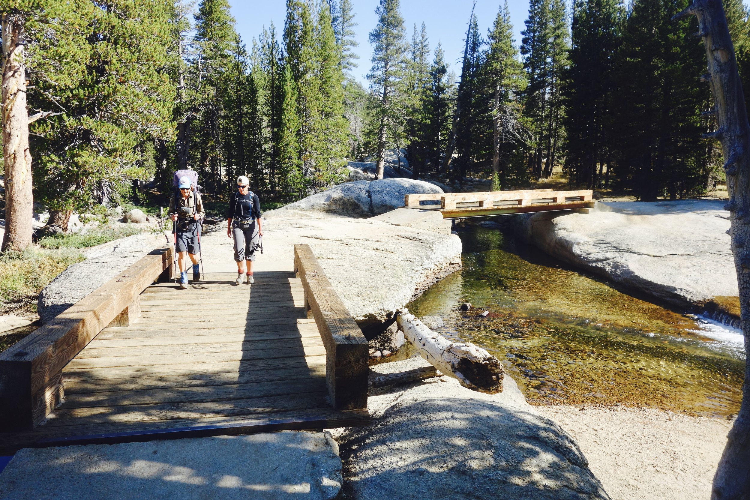
LOWER YOUNG LAKE TO TUOLUMNE MEADOWS + LEMBERT DOME


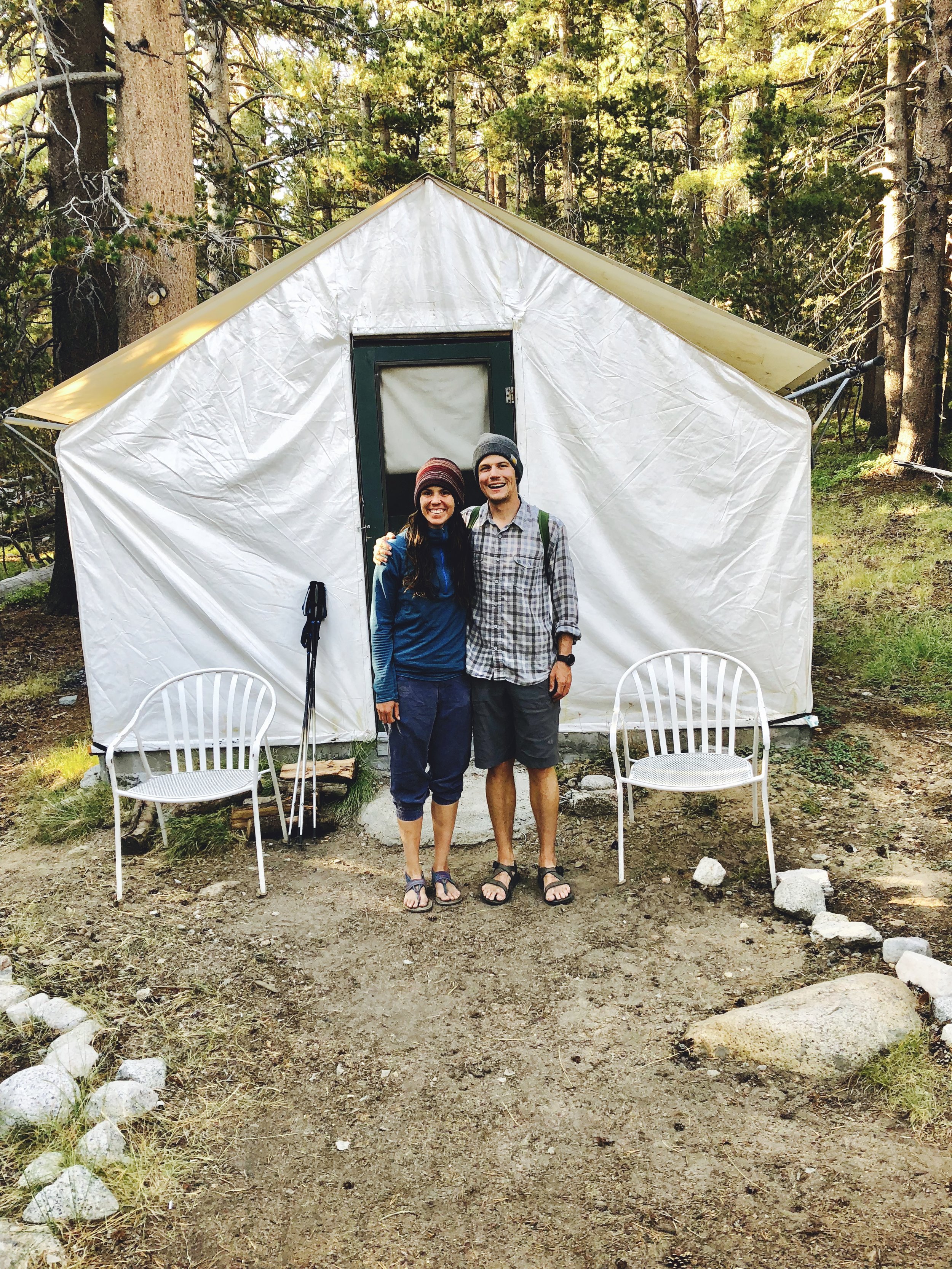

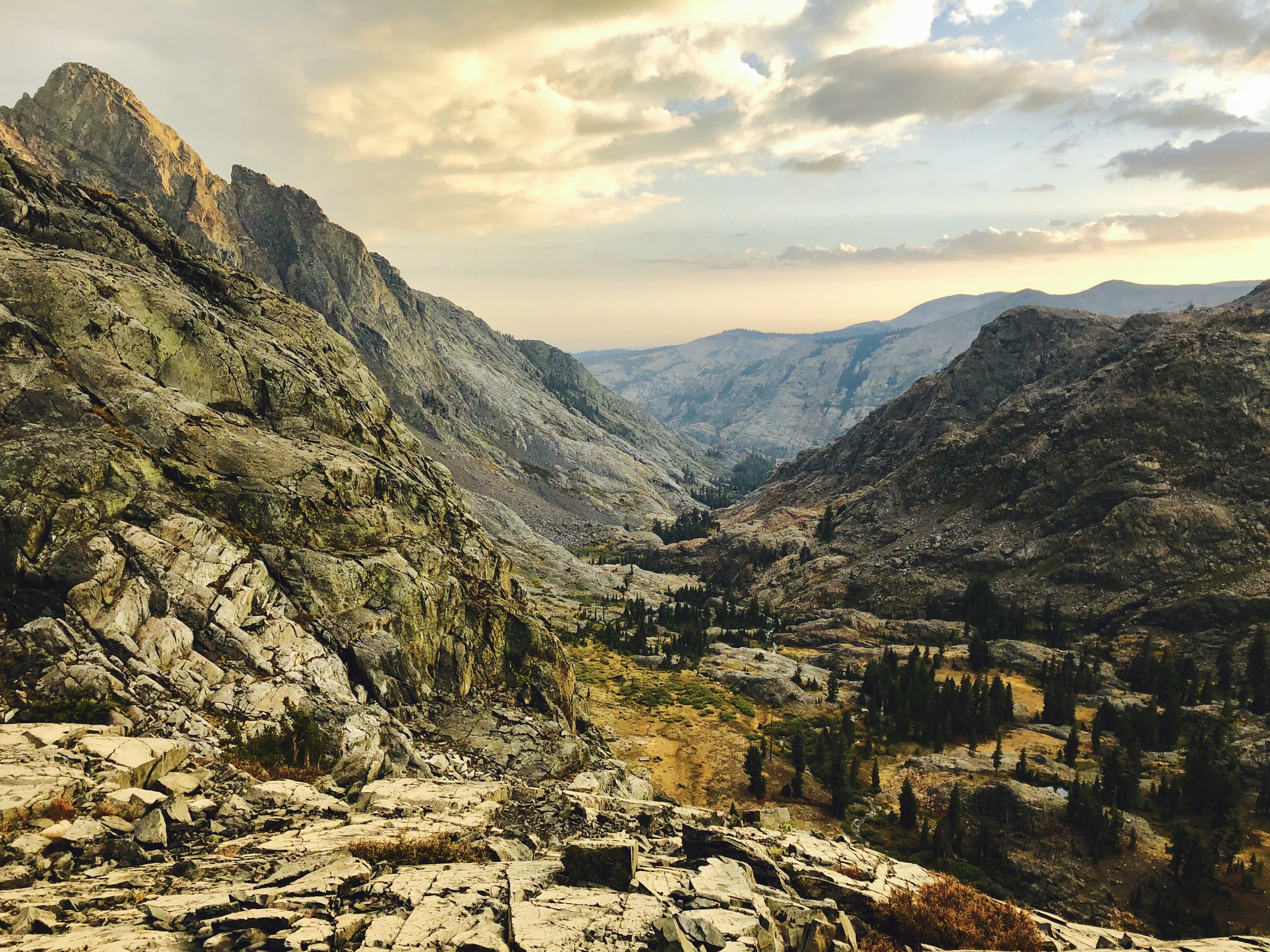
HEADWATERS COUNTRY // TUOLUMNE MEADOWS TO DEVIL’S POSTPILE
TUOLUMNE MEADOWS TO VOGELSANG LAKE


VOGELSANG LAKE TO LYELL FORK OF THE MERCED RIVER + VOGELSANG LAKE


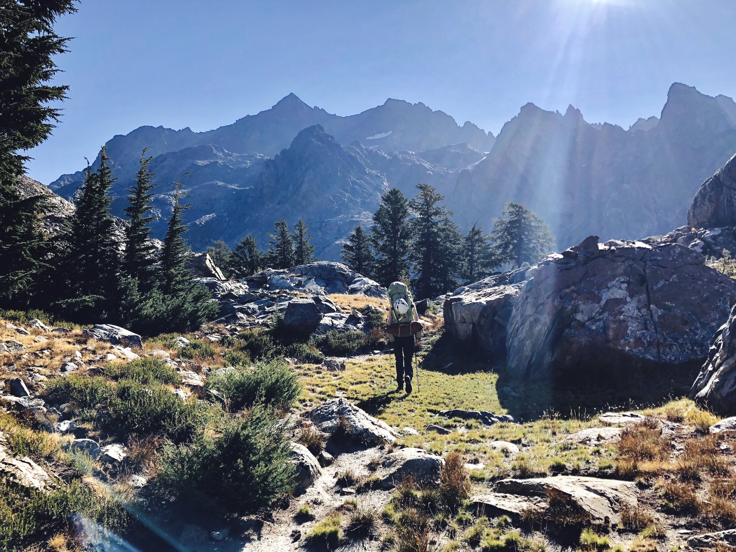
LYELL FORK OF THE MERCED RIVER TO BENCH CANYON


BENCH CANYON TO HEADWATERS OF THE NORTH FORK OF THE SAN JOAQUIN RIVER


HEADWATERS OF THE NORTH FORK OF THE SAN JOAQUIN RIVER TO GARNET LAKE + BANNER PEAK ATTEMPT


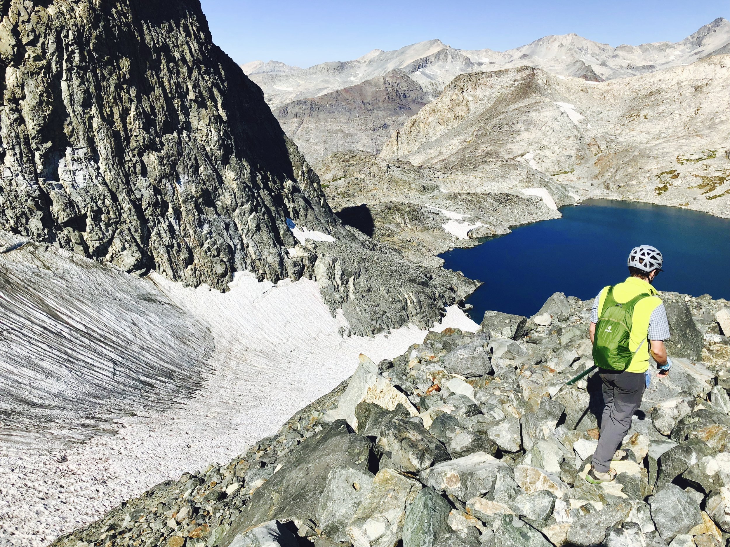


GARNET LAKE TO CECILE LAKE + MT RITTER ATTEMPT


Iceberg Lake


Minarets, PM
CECILE LAKE TO DEVIL’S POSTPILE
Minarets, AM
A poorly shot time-lapse of sunrise from Cecile Lake…but still beautiful, to me. <3


EL FIN!
EPILOGUE // LET’S BE REAL, NOW LET’S EAT SOME FOOD


