PLANNING
The time was drawing near for our adventure but we still had a few things to tie down. After a few more trips to the grocery and local gear shop we were ready to pack our food. In the nick of time our packs arrived and so the process began to try and get everything in them. Keeping with the thought of "no more than 40 lbs for the down hill," we did our best to zero in on that ball park. Ended up being maybe a little heavier than that in the end.


THE TRIP: EAST-TO-WEST SIERRA TRAVERSE
DAY T-1 (aka the Day of Travel Cruxes)
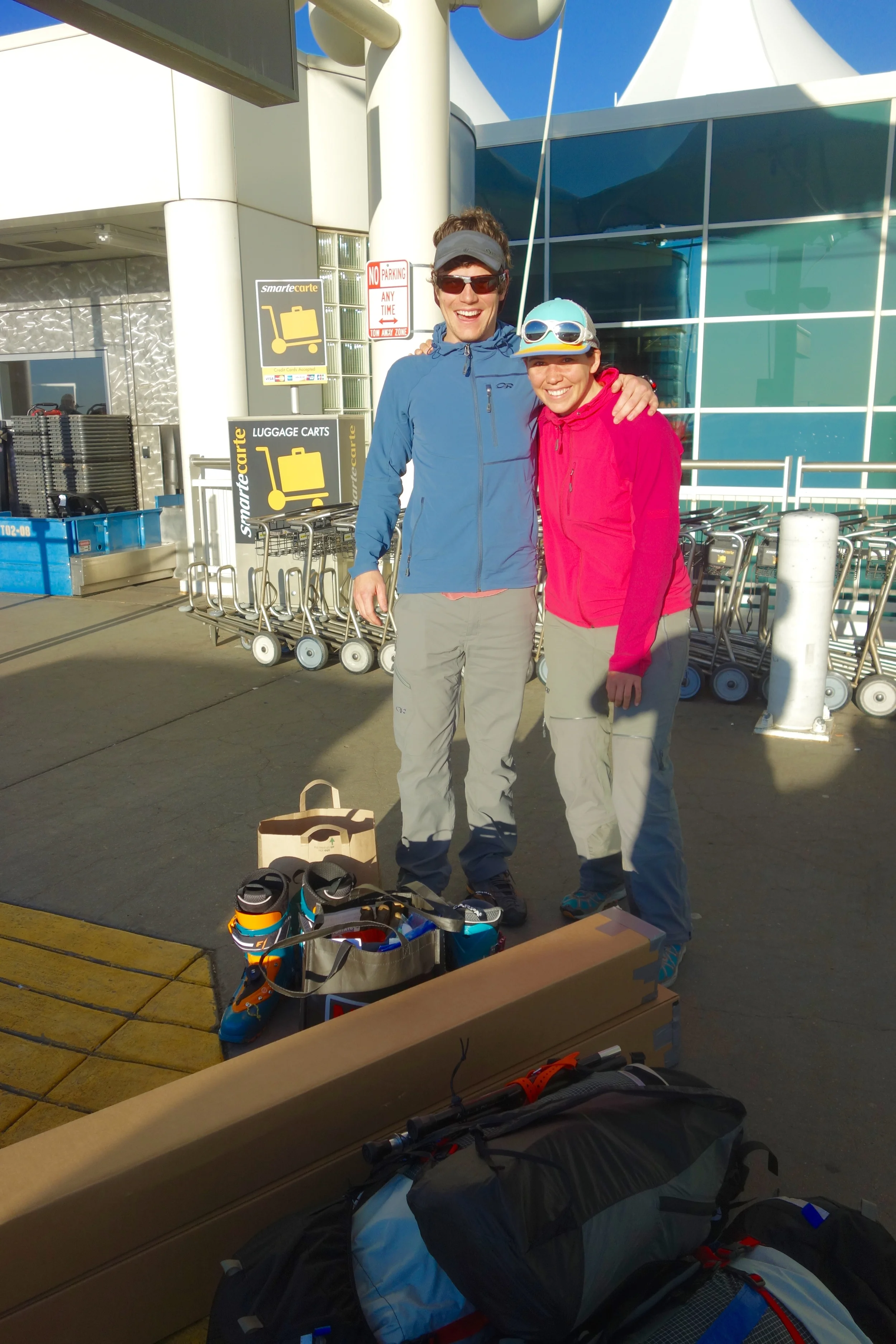
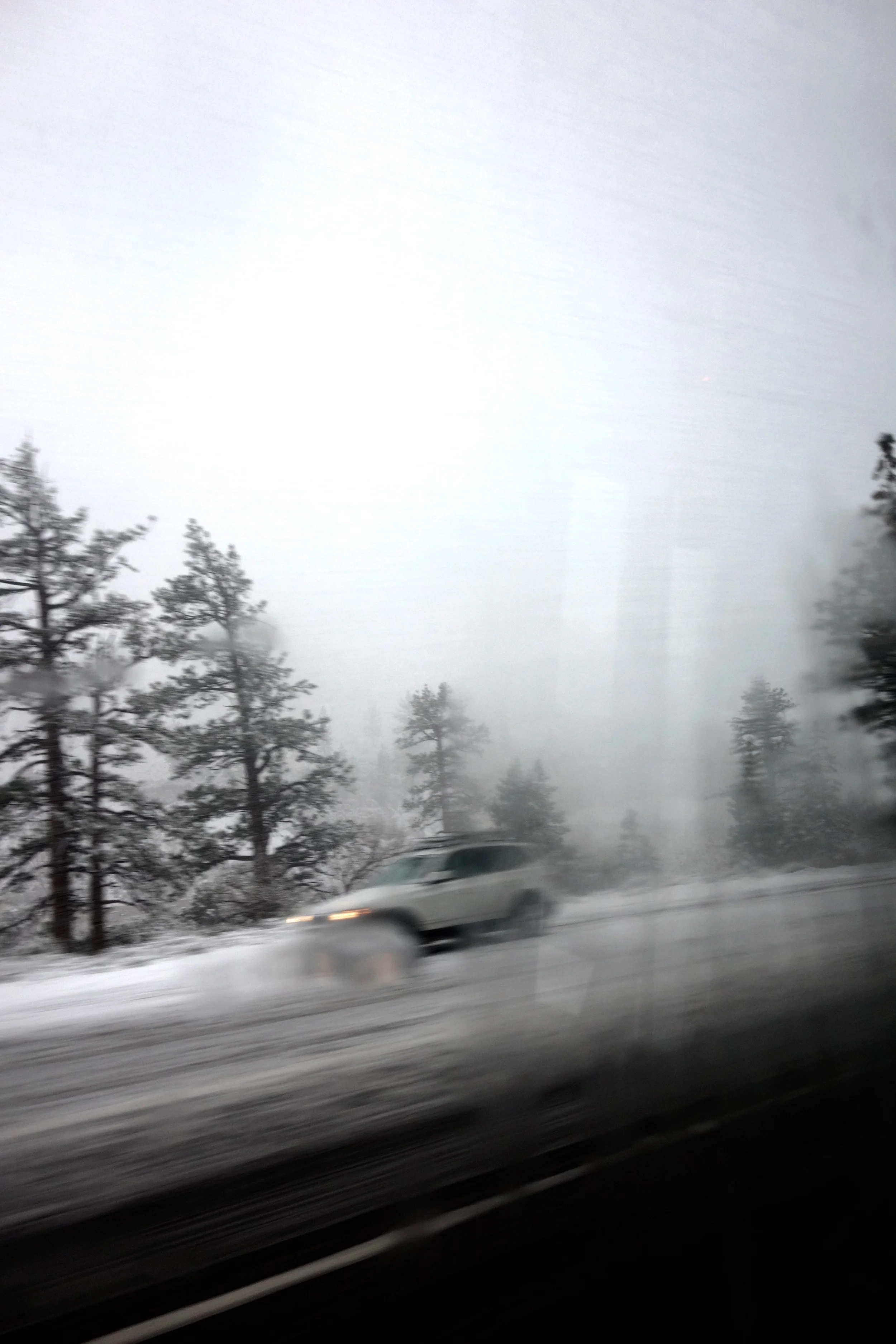
The day came to hit the road. Away messages were set on work phones, gear was boxed and ready, weather was scrutinized. Our friend Billy gave us a ride to the airport and the day of travel cruxes began. We drove to DIA, made our flight, landed in Reno to rainy and windy conditions, determined we would be attempting our secondary route via lower elevations to the Valley (rather than the higher elevation Yosemite Border Tour), caught the bus to Mammoth where it was nuking snow and blowing sideways, tracked down Mammoth Mountaineering to pick up our fuel, and then after dinner walked to our Air BnB with Katie, Jimmy, and dog Khali to crash for the night.


ROUTE OVERVIEW
Original route in red (with yellow pins for camps), alternate routes in orange. Actual route used was northern orange line (approximately 60 miles), with actual camps marked as orange dots.
DAY 1 [~9.5 miles]

The "Oh Shit" moment
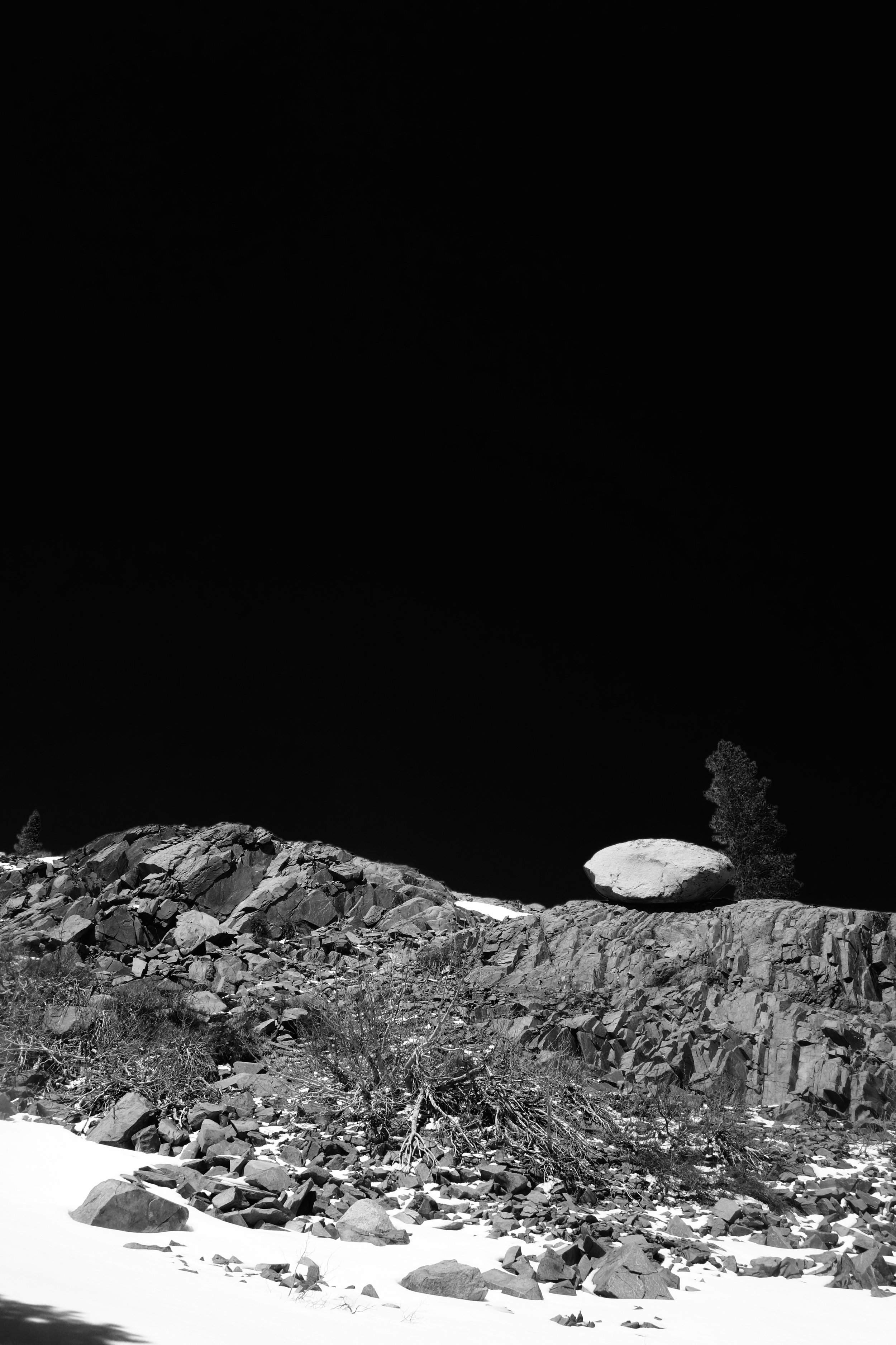
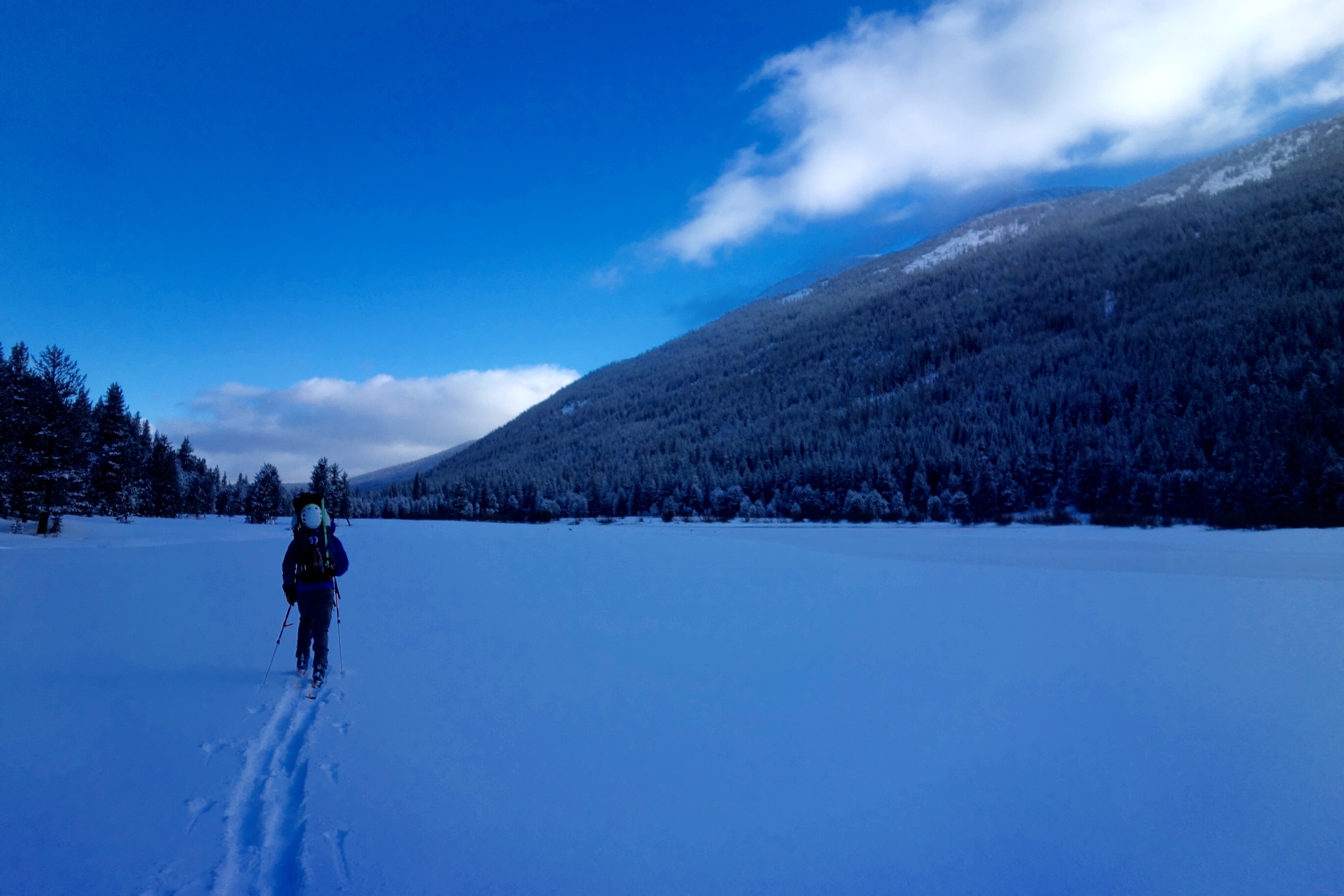
After attempting to down a Schat's breakfast and getting dropped off at the trailhead by Reuben (Mammoth Taxi), we had the "Oh Shit" Moment...that moment when all of the planning is over and all that's left to do is "do." We hauled everything, including skis, up the Rush Creek trail, postholing through patchy snow until about halfway through the day when we could transition to skinning finally. Luckily the weather was the opposite of the previous day, and in good spirits and under the warm sun we travelled further toward the huge range of snow-covered peaks ahead. Touring across the empty Waugh Lake we could see where our original planned route would have crossed the Sierra Crest, and also the gentler slopes of our new plan for where we would make the crossing. We decided on a beautiful campsite around 5 PM with excellent views of the Ritter range, and optimistically ate dinner and went to bed, hoping the "30% chance of snow" for the next day really meant 0% chance of snow.


DAY 2 [~10 miles]
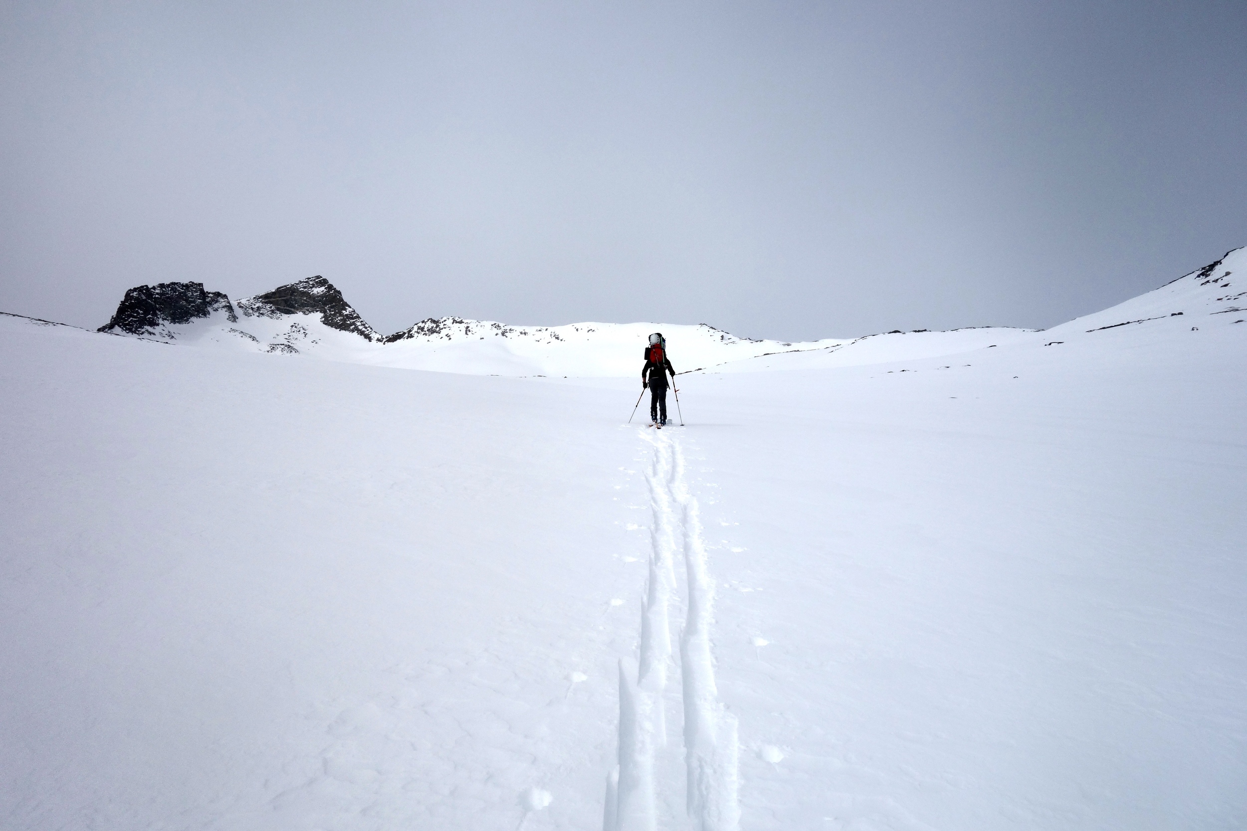
Nearing the Crest at Donahue Pass...Its time to have a conversation...
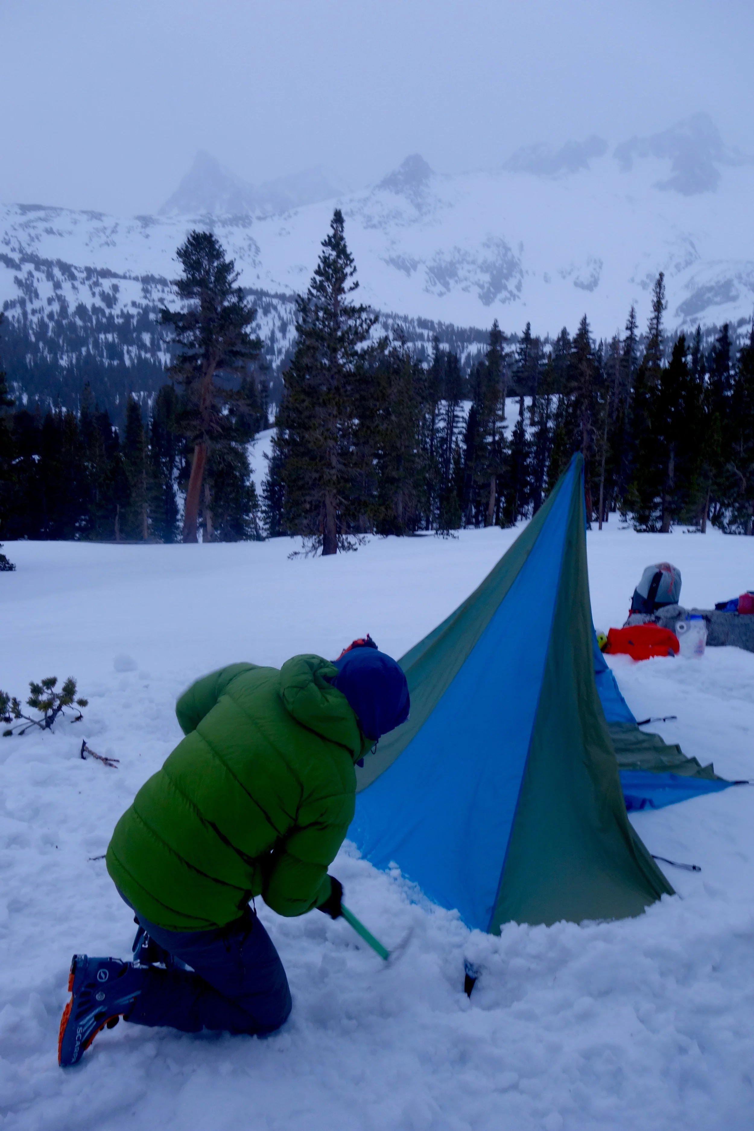
We woke up with plans of getting an early start and booking it for Donahue Pass. On the new Mammoth-Yosemite route, we'd just be doing this one pass instead of four passes. But when we poked our heads out of the tent it was socked in was already snowing and even one pass was suddenly not seeming possible. Not knowing what the other side of the pass looked like snow-wise (huge plates were breaking under our feet as we skinning further and further above treeline) and a storm rolling in, we were forced to consider bailing on the route. But at the pass, the clouds were still high and so was our stoke. Fortunately, we were able to make safety turns with heavy packs down the other side of the pass all the way down to the headwaters of the Lyell Fork with no broken knees (thanks again Connie). After a quick lunch on the grass by the meandering river to dry our damn sleeping bags out, we made it one slushy mile down the Lyell Fork before the storm decided to let loose. Flurries turned into a heavy downpour, and we became increasingly nervous as we realized that we were camping about 20 miles minimum in any direction from a trailhead in the biggest storm we'd been in in the Megamid.


DAY 3 [~12 miles]
New snow!
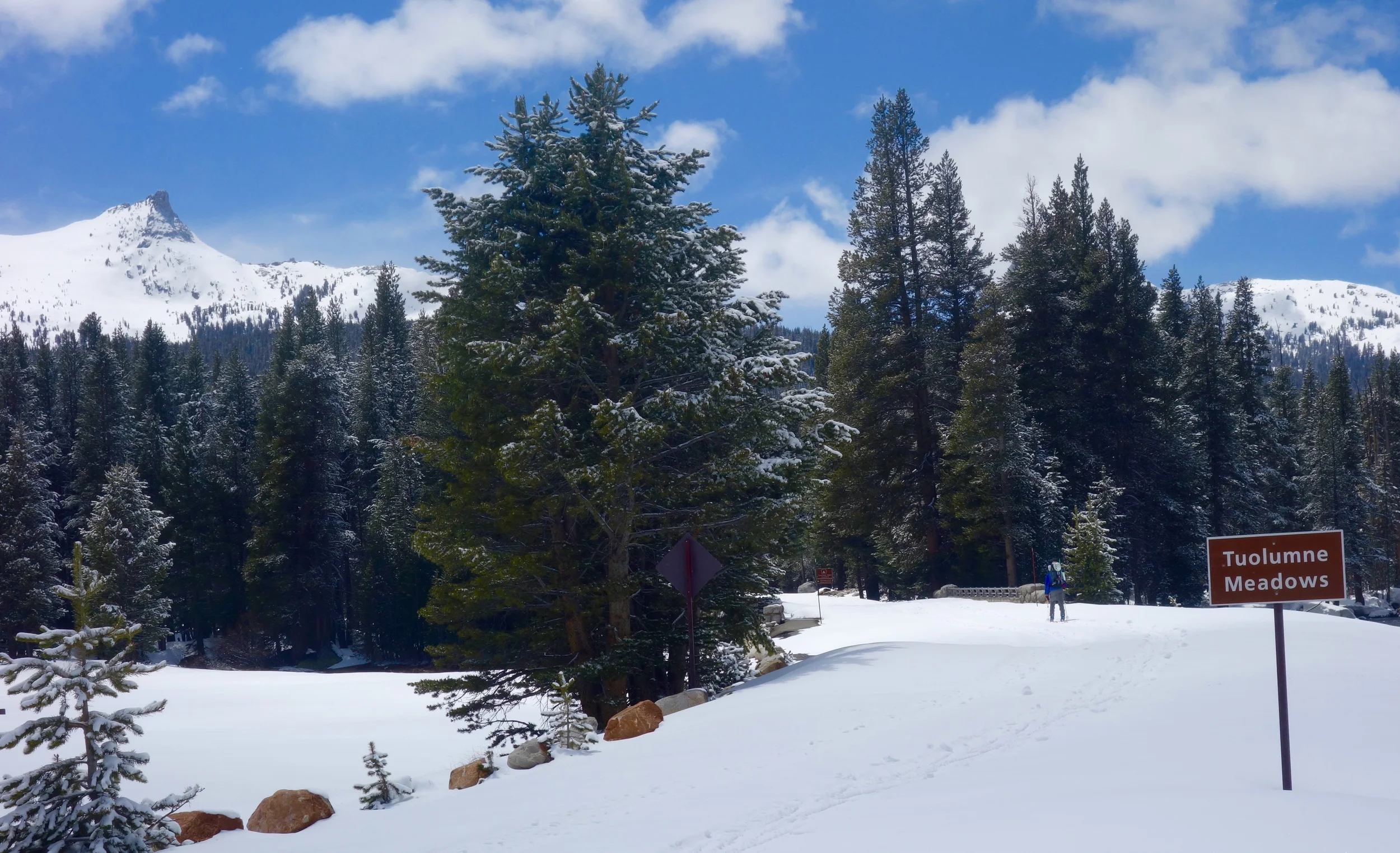
We woke up the next morning to 5 or 6 inches of new snow and a lot of wet gear. With clear skies and a message from Mom on the Delorme that it was likely that the Tuolumne Meadows ski hut was open, we decided to book it to Tuolumne Meadows before the forecasted "80% chance of snow" happened. The snow began falling harder and harder as we got closer and closer to Tuolumne Meadows. Relieved, we found faint ski tracks after crossing the Lyell, and followed them to the door of the only inhabited building in Tuolumne Meadows to find the winter rangers. They told us they were getting ready to close up for the season but that the ski hut was indeed still open. The sun poked out and we skinned tired and happy down the road to the ski hut. The whole day, we had only eaten about a bar each. We laid all of our gear out in the shelter of the hut and started a fire in the woodstove. With a renewed optimism (and a forecast for one day of sunny weather the next day) and not wanting to cut our trip short, we thumbed through the ski guide in the cabin, made plans to ski Unicorn Peak the next day, and decided to base out of the ski hut one more night. We also decided to shorten the trip and come out to the Valley one day earlier than planned, given the weather forecasts for snow for the rest of the week. Nevertheless, it was official: we had crossed the Crest and were going to complete a trans-Sierra traverse.


DAY 4 (layover in Tuolumne) [6 miles]

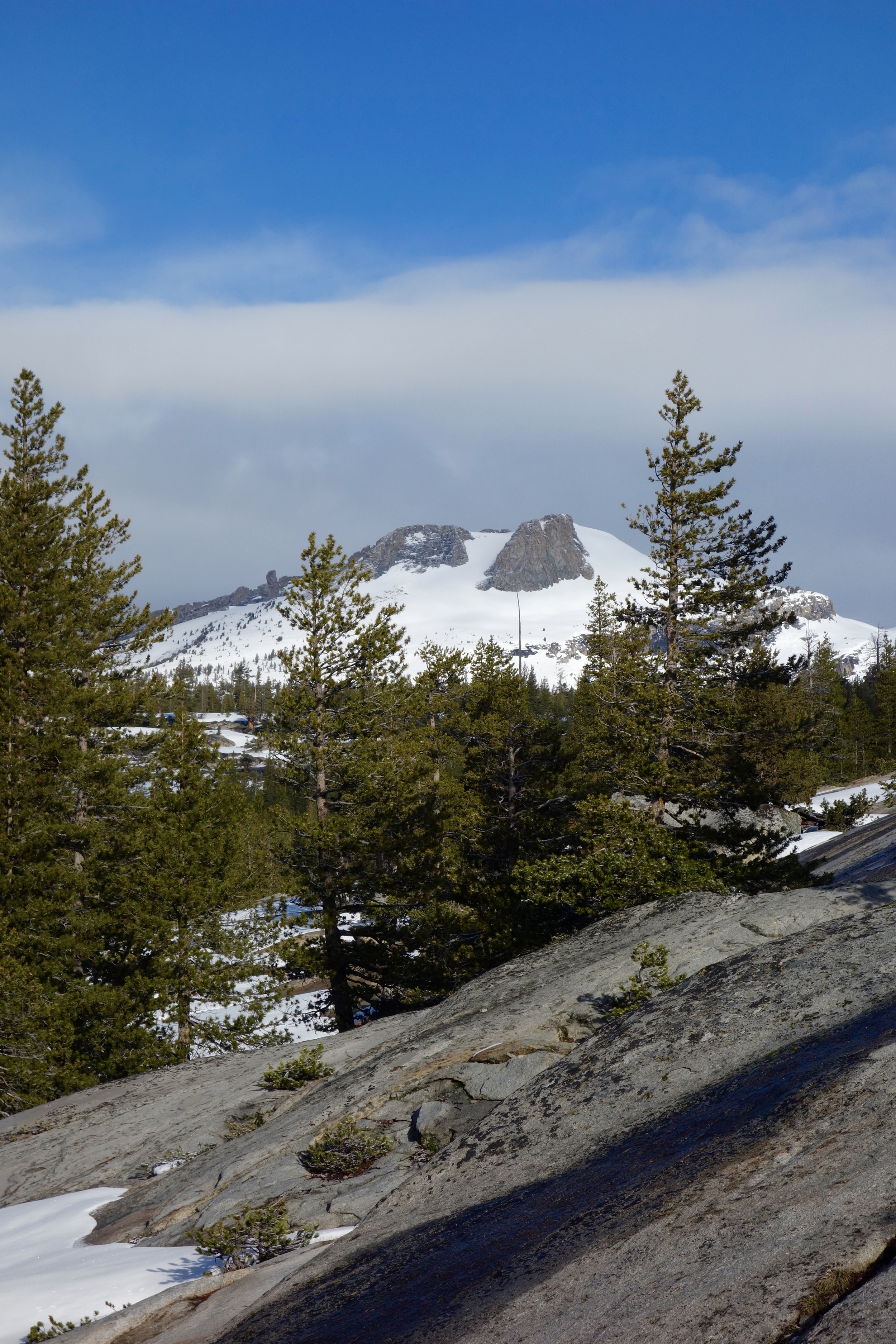
Panorama of the Cockscomb, Echo Peaks, Cathedral Peak, and Unicorn Peak from the saddle of Unicorn Peak.
With a little bit of a later start and the excitement of potentially skiing a beautiful peak, we weaved through widely spaced and knotty trees to the base of Unicorn Peak. We both skinned upwards feeling a little intimidated by the large snowy face, rollover above, and trees that had been snapped off at their base. But the Sierra snowpack in the spring is a beautiful and stable thing and our nerves eased off a bit when we reached the saddle on the shoulder of the Unicorn. A sea of granite and snow surrounded us and we swooped down the cream-cheesy snow, hooting and hollering and back at the ski hut before noon. That afternoon amidst a cribbage match, we were joined by a party of four crusty Sierra tele-skiers with one broken binding and a food cache of delicious food and wine (which they kindly shared with us). The weather forecast for the next day was again 80% chance of snow, and indeed it had already begun snowing. We packed our bags to leave at 4 AM to try to beat as much of the storm as possible to the Valley rim.


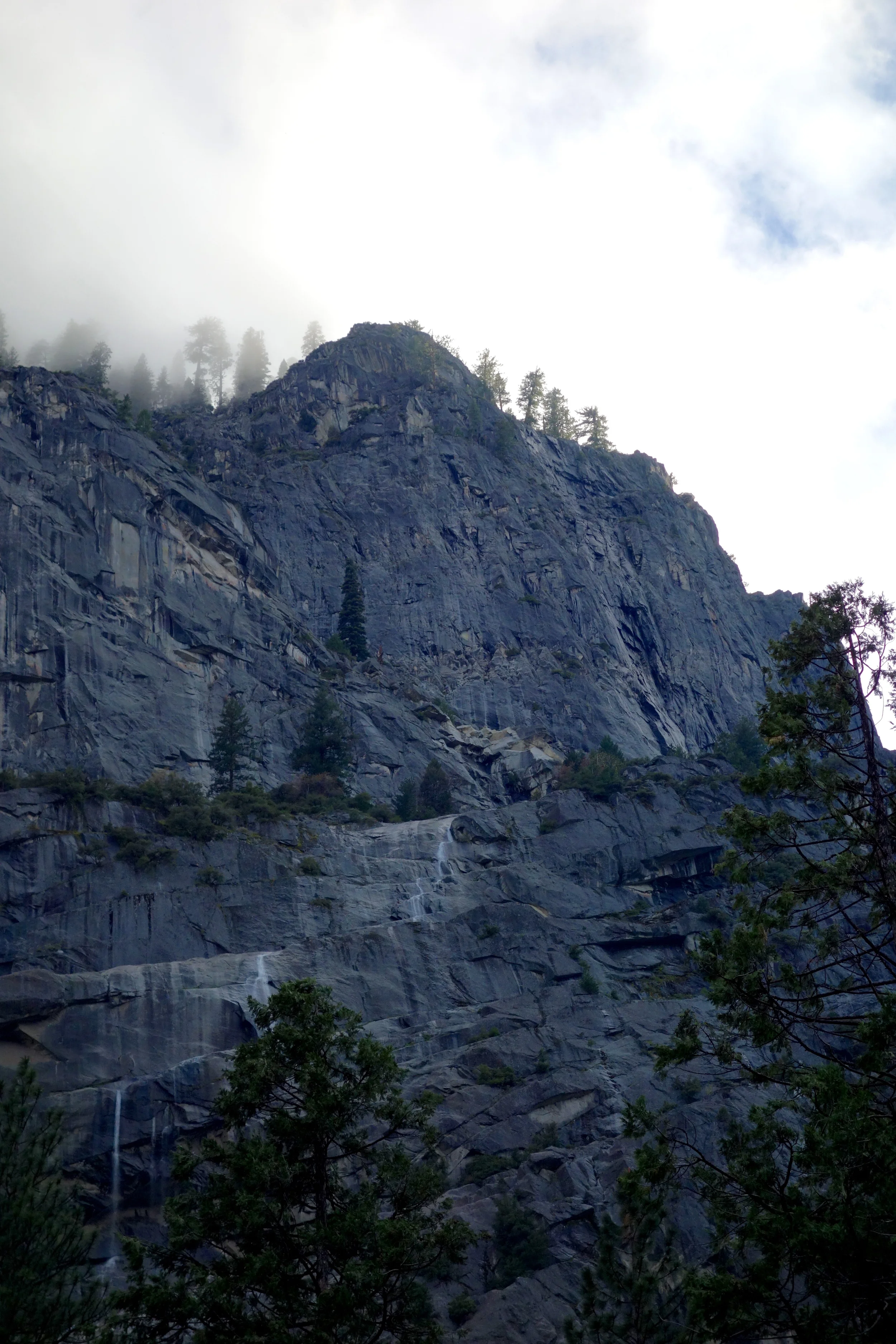
DAY 5 [18 miles]

Heading on down the Tioga Road
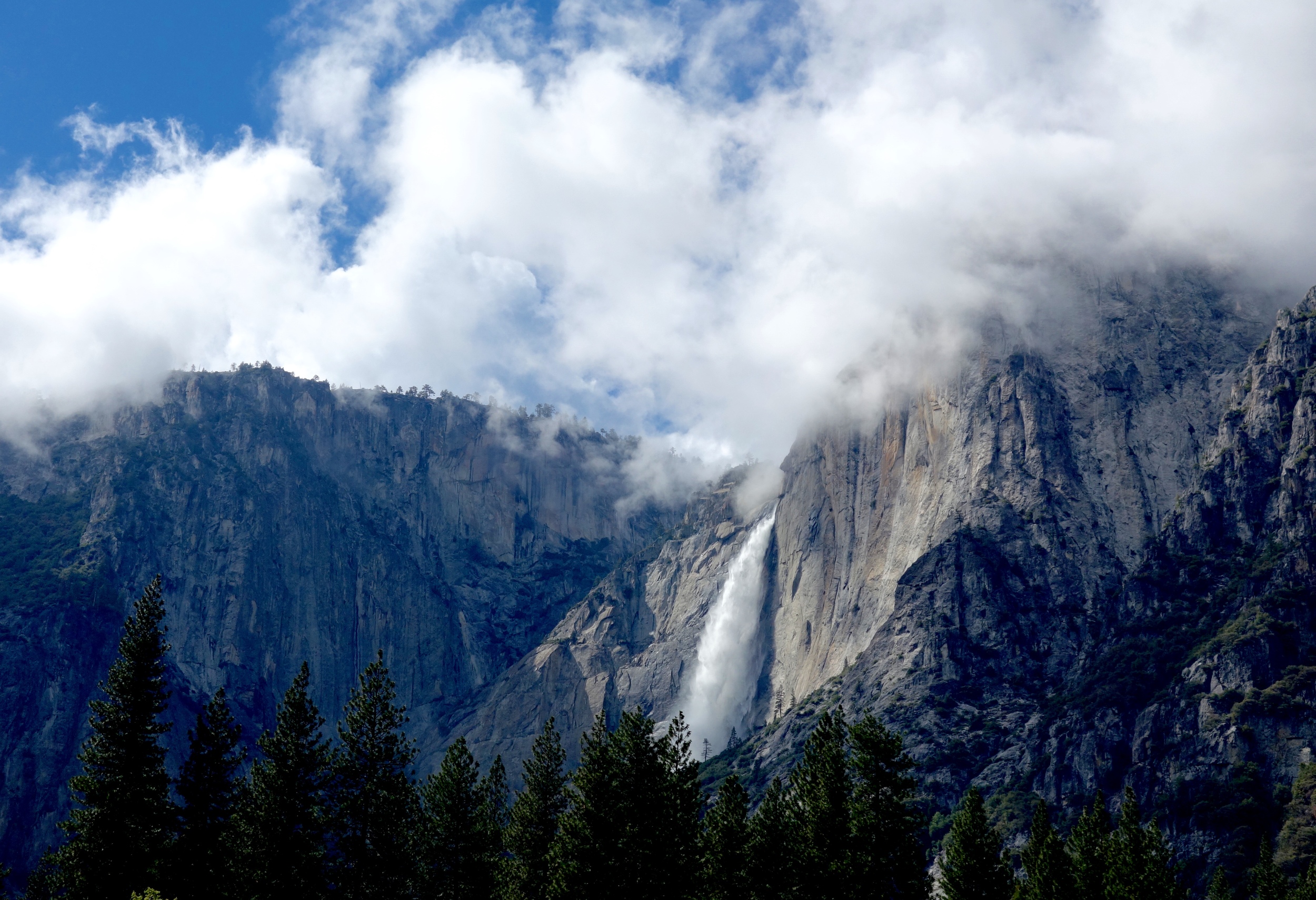
The next day we were up and out of the cabin by 4:30. With the snow already flying we didn't waste any time heading towards Olmstead Point. The slabs there can collect snow and then avalanche across the road so we were a little nervous and wanted to make sure we got past them in case the snow warmed up in the afternoon. We were at Olmstead Point by 8:40, feeling excellent about making such great time. We wound our way along the road to a ridge that we followed to Snow Creek, where we found ski tracks that we followed to the Snow Creek ski hut (closed for the season) and the Duck Brothers who were cleaning the chimney. Continuing down and through dense trees and less snow, we finally reached the end of the skiing for the trip and loaded the skis back up (the "S.S. Dierker" as named by Dierker). A few more miles down the trail and we came to a beautiful campsite on the Valley rim across from Half Dome. On-and-off rain, snow, and fog passed through but we slept without a care under the flimsy Megamid. The trip was almost over.


DAY 6 [~6 miles]

Back to all the humans....
We slept in the next morning and took our time packing up camp. We hit the trail on wet pine needles and to the sound of grouse drumming. Still with no other boot prints on the trail.


EPILOGUE (THE VALLEY AND ROCKLIN)
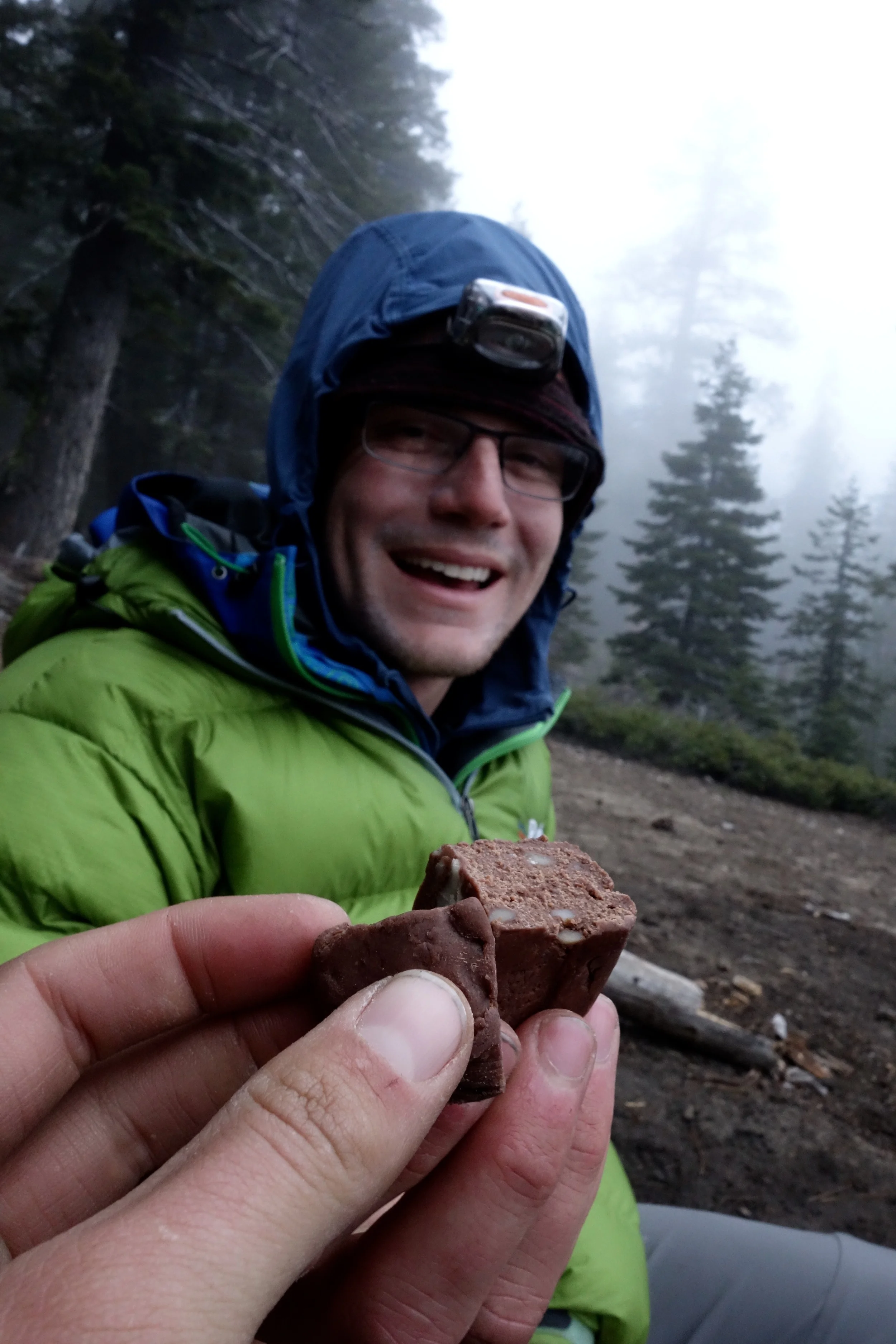
So we made it! We hung out in Yosemite Valley for another day and then headed to Rocklin to see the Perrot's and get a little family time in. We avoided epic-ing and had a blast. We learned a ton, especially about our gear, how many calories we can actually consume and also how much fuel we will need in the future. The Tuolumne Meadows area is prolific with Spring ski descents and we will for sure be back!